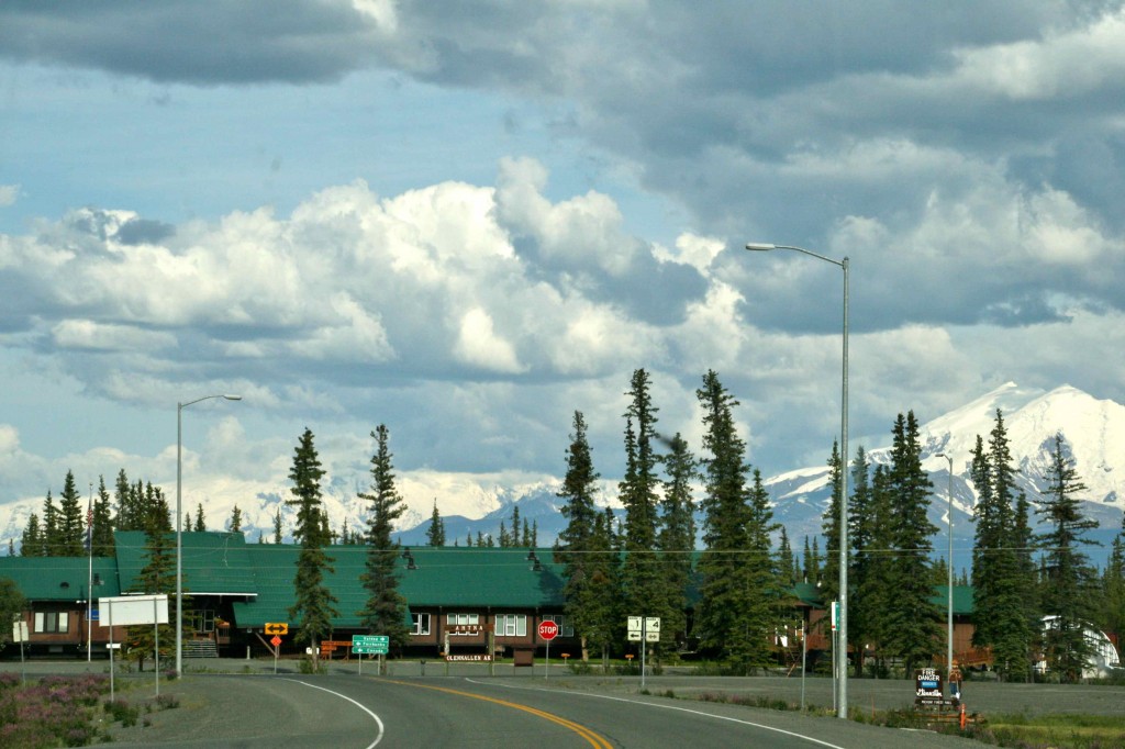
Tok, Alaska, is the first sign of a real town when entering Alaska from Canada. Tok started as a construction camp on the Alcan Highway in 1942. It has offered us a few days of rest and relaxation and a chance to catch up on laundry. We are now off to discover Valdez. It is Friday, June 24. We have had a lot of rain in Tok, but today is nothing but sunshine, fluffy clouds, and blue skies.
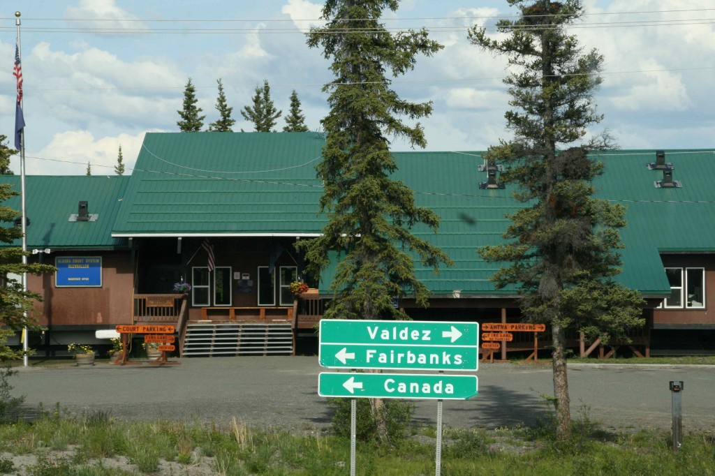
We leave the Alaska Highway at this point. The final portion of our loop around the state will pick up the final portion of the famous roadway, and at that point we will have traveled every mile of it.
Today we take the Tok Cutoff to Glennallen and then the Richardson Highway to Valdez. It is important to know the names of these highways so they can be found in the Milepost. This is arguably the most beautiful highway in Alaska. That is what we have been told. That is certainly what we are seeing. It remains to be seen if it will hold up to be true after we have seen it all, but for now, I sure wouldn’t dispute the point.
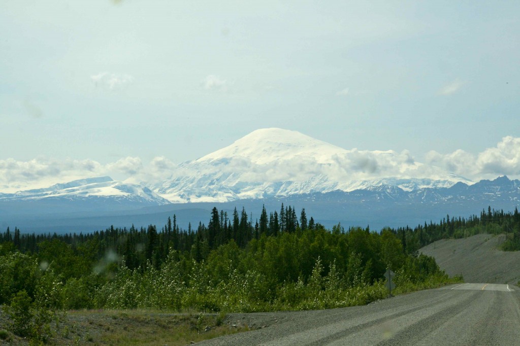
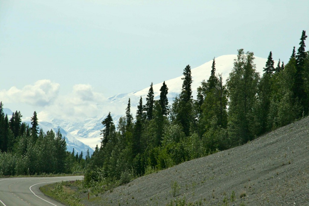
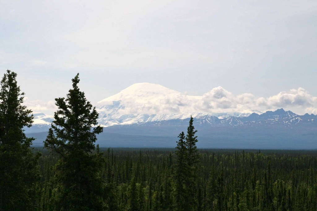
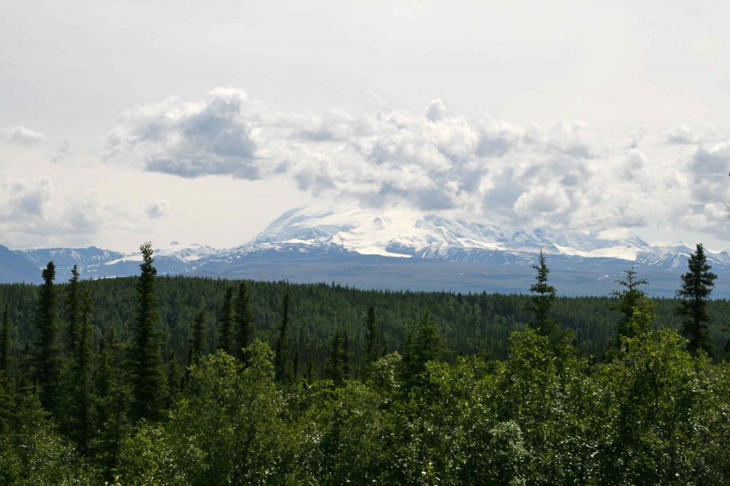
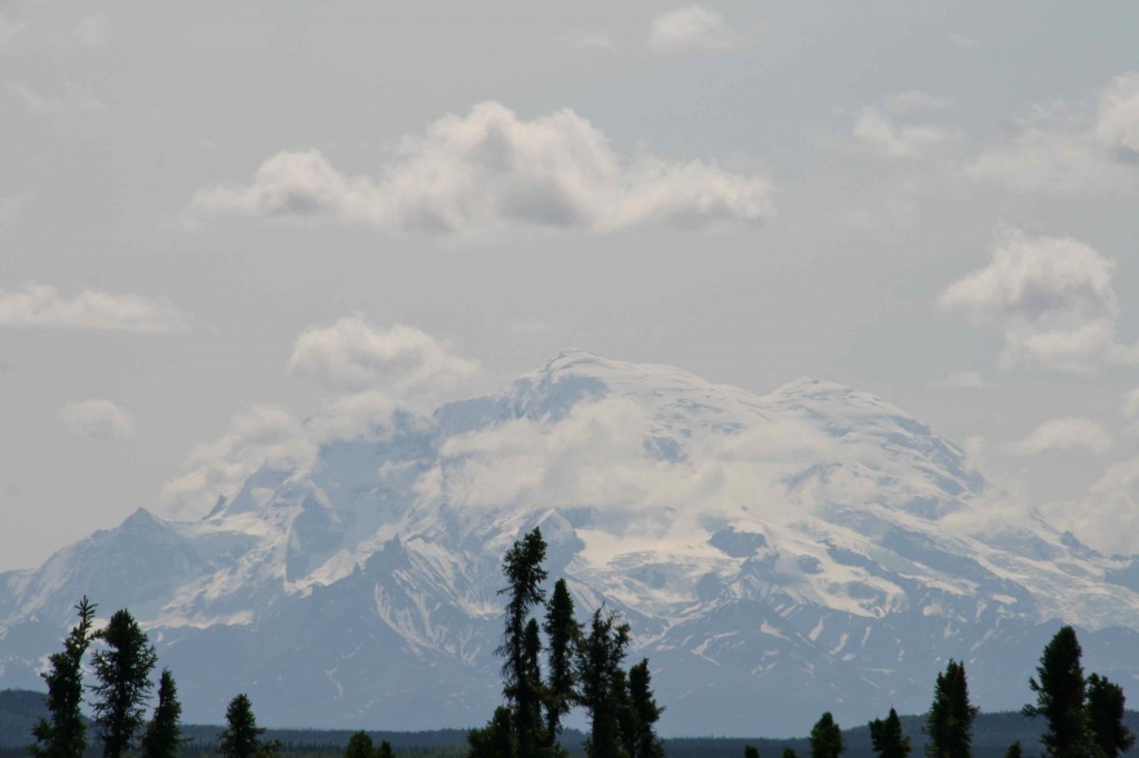
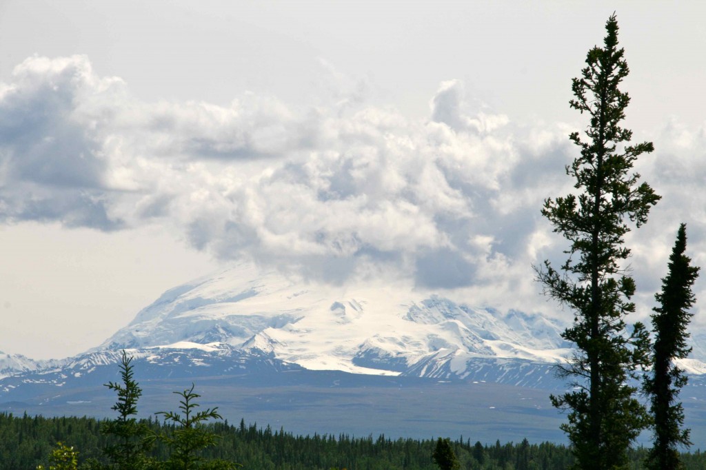
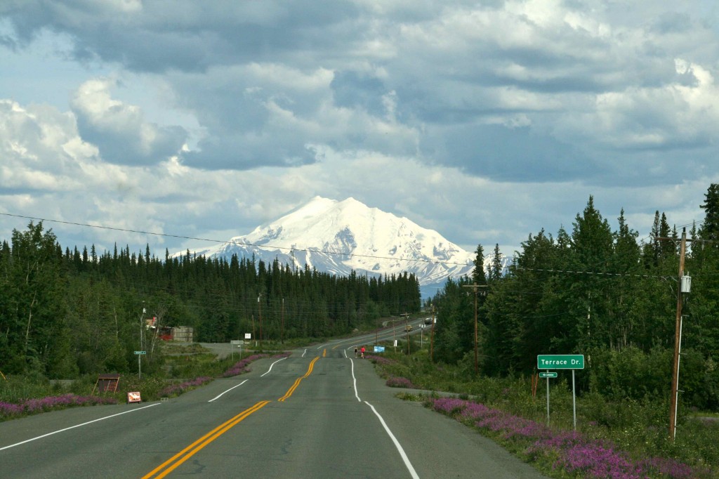
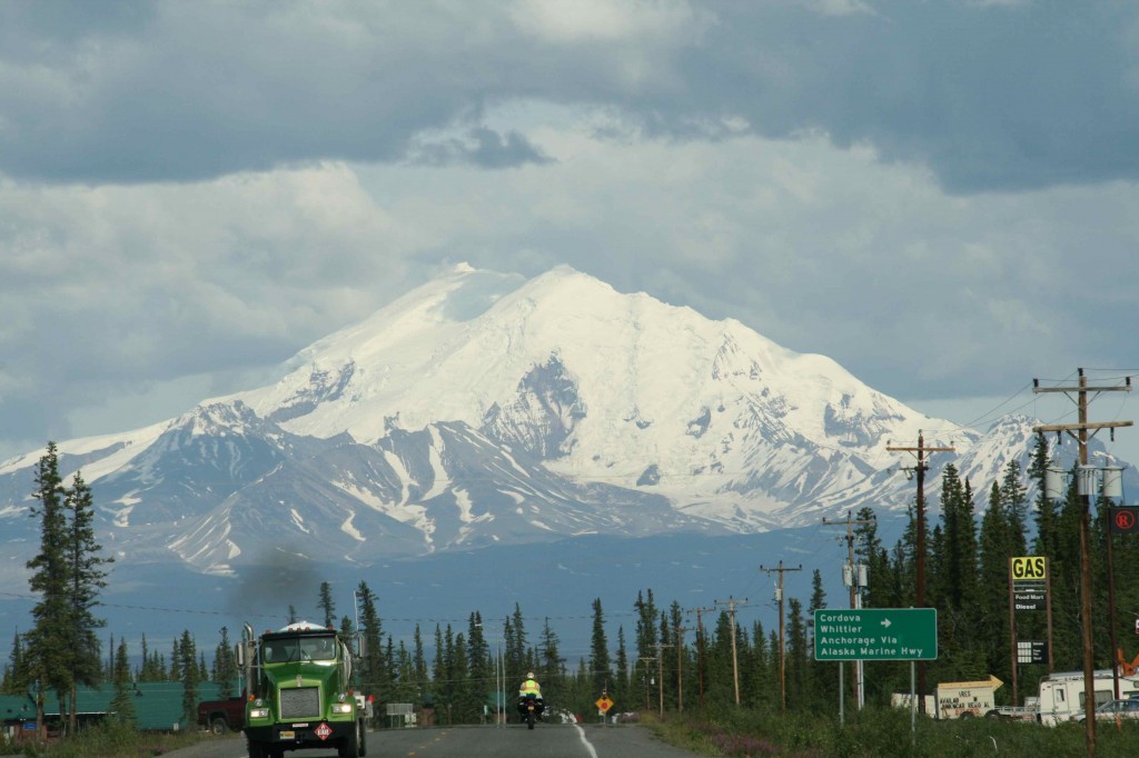
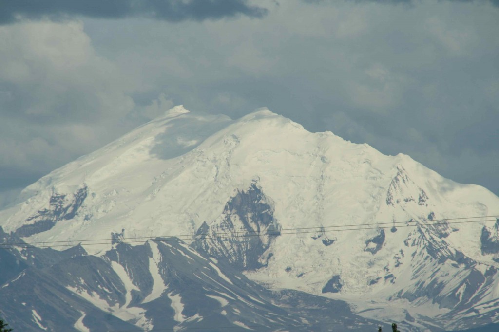
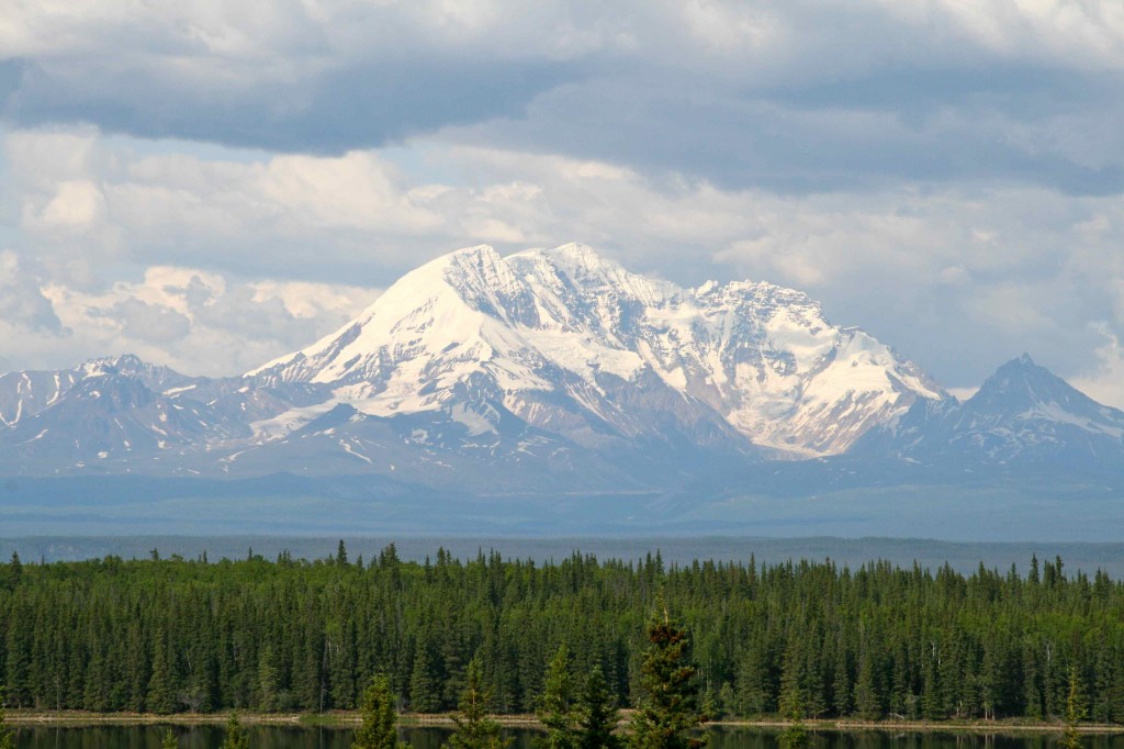
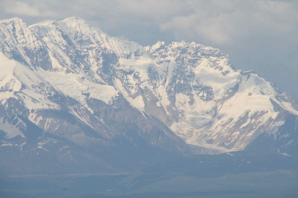
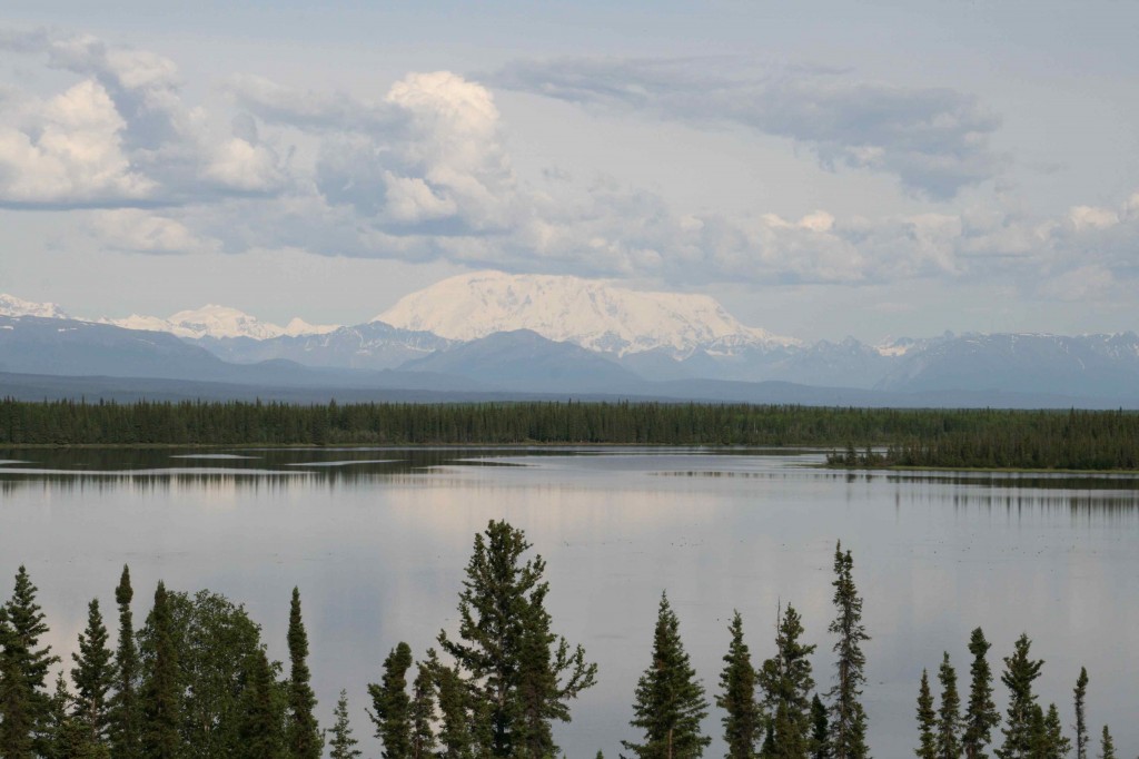
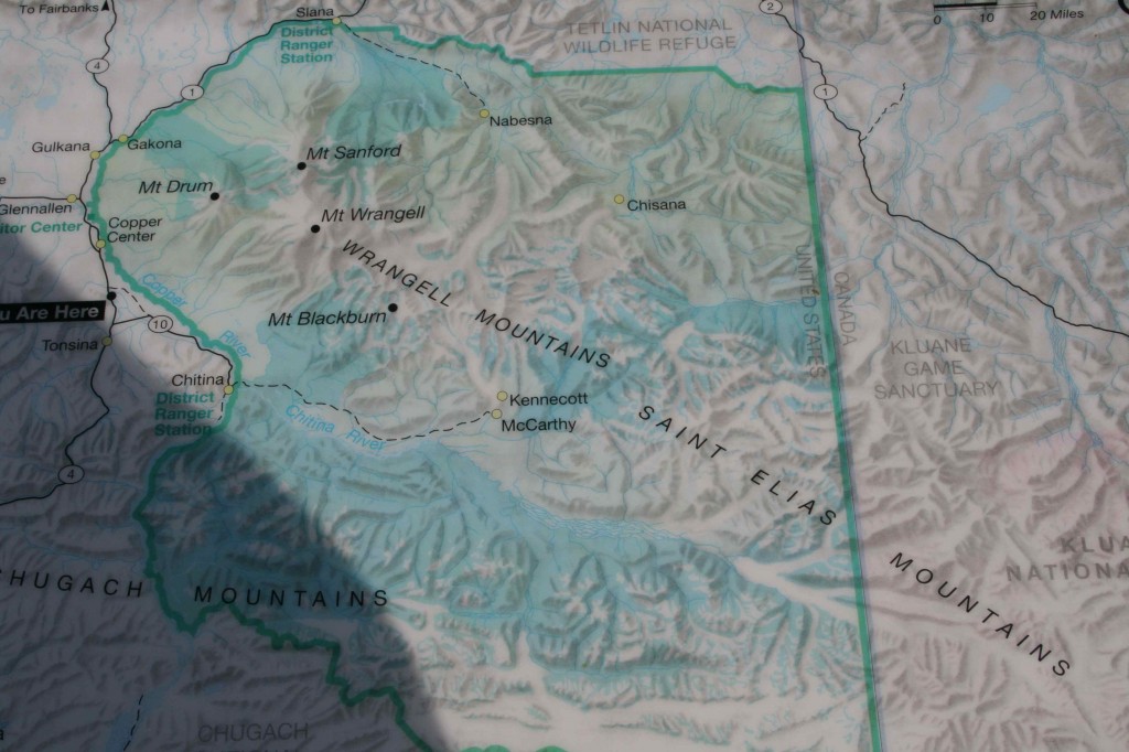
Mt. Sanford is by far the dominating feature in the landscape, rising to an altitude of 16,237 feet. It is in the Wrangell Mountains and is one of Alaska’s ten highest peaks.
We are extremely fortunate to have the weather we have today. It would be more normal to drive this highway with cloud cover and never see the peak. This is a treat we are thoroughly enjoying.
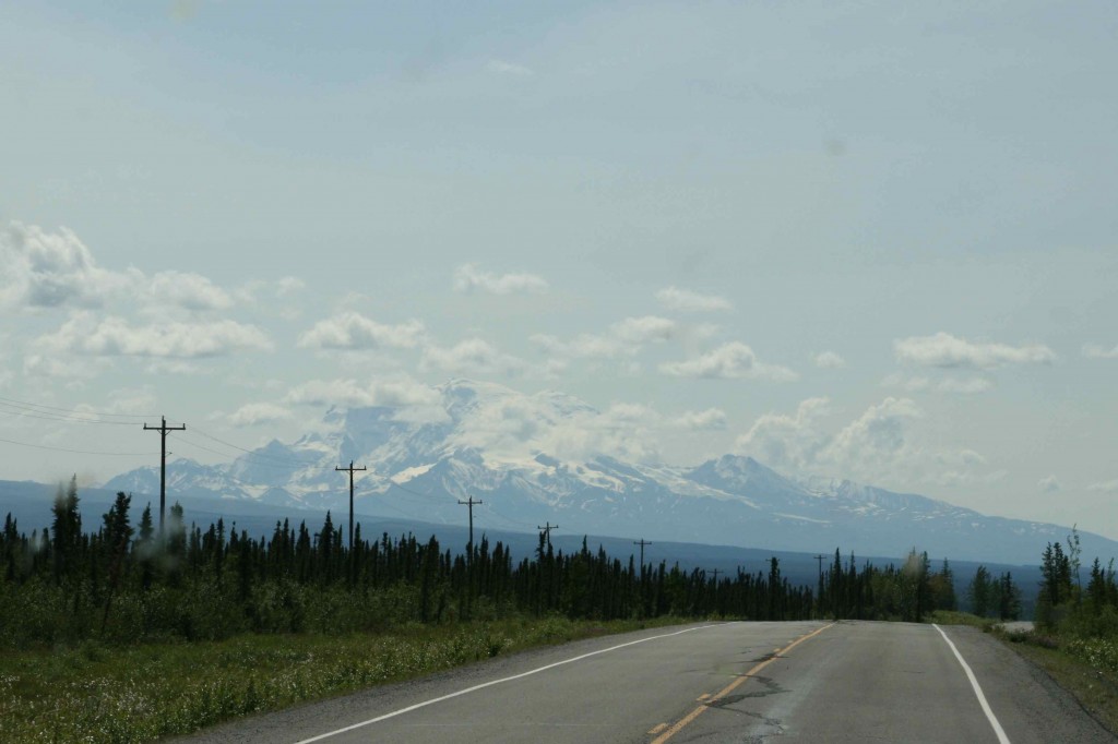
The rest of the Wrangell Mountain Range that we can see is beautiful as well. We would be quite taken with it; however, Mr. Sanford is just stealing the show.
Every time we come around a corner, the clouds have changed over the top creating a different effect. The camera is getting a workout. Only a fraction of the pictures are being posted.
In the winter the entire mountain is covered in deep snow. This is what I expected to find in Alaska, but somehow it is even more!
It just keeps changing!
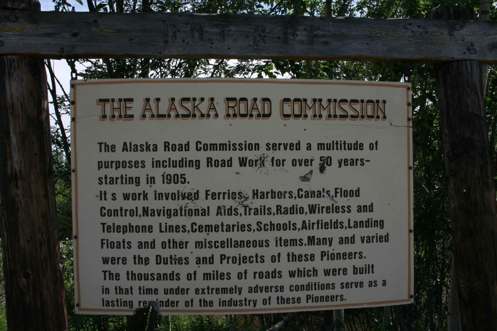
Hurray for the pioneers who first built these roads and kudos to the crews that keep them driveable today. We have seen what they can be and appreciate the labors of those whose job it is to get out and knock down the heaves and fill the dips!
The road to Valdez is by far better than the road in from the Canadian Border, but it is still important to keep full attention on the road. Those heaves are sometimes hard to gauge and it is not good to hit one going too fast particularly when they are in quick succession.
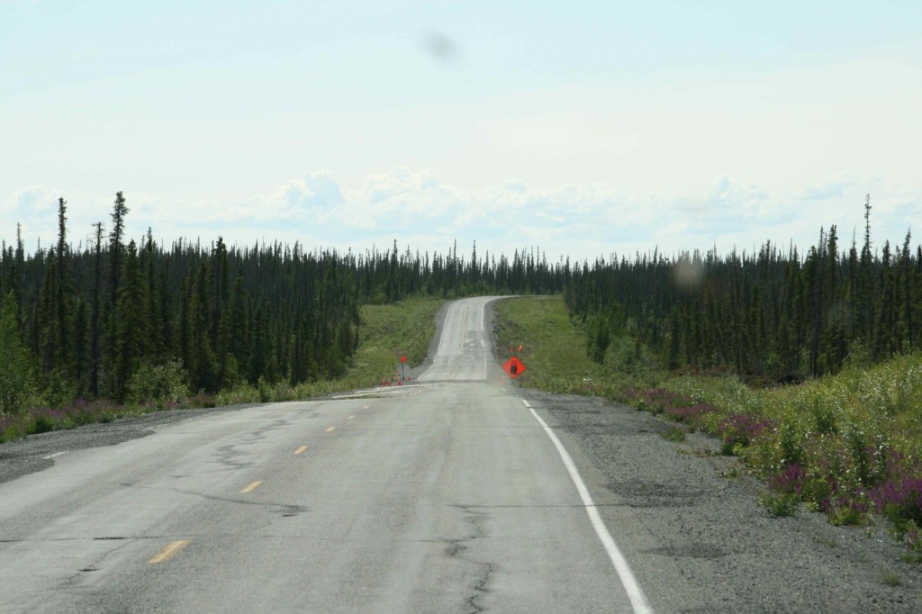
From time to time we run into the ongoing construction. There are “Follow Me” trucks in our future I am sure. That’s okay. We aren’t in any big hurry, and the new road they lay down is n-i-i-i-i-ce!
See those wavy lines in the road. Heaves and dips!
We are coming into Gulkana Junction. That appears to be Mt. Drum straight ahead of us. The majesty of this place cannot be overstated.
This is the junction where we go south on the Richardson Highway. We will return to this junction to go to Anchorage. Valdez has one road in and one road out.
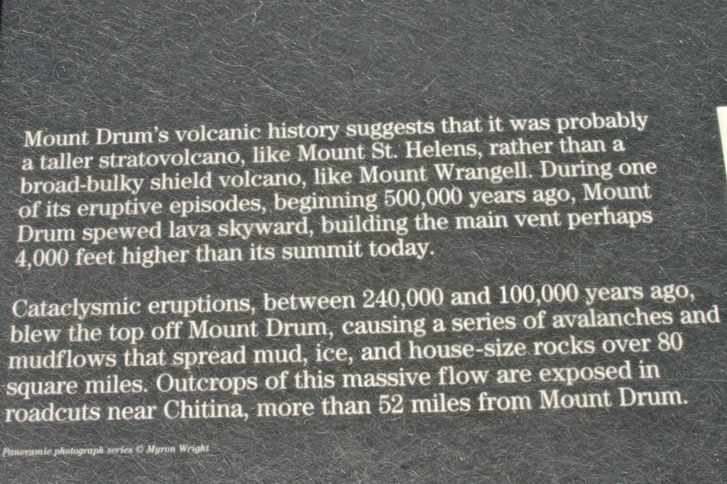
Mt. Drum is an inactive volcano. The caldera is off to the right side. The amount of snow that is still on this mountain is deep. This is glacier land.
We are coming around the west end of this mountain range. It is stunning to watch it unfold before our eyes as we come around each turn.
The roads are very well marked. It has not been difficult to figure out which way we need to turn.
We are on Richardson Highway and moving south of Mt. Drum. It is now possible to see the caldera of this volcano. The entire top and side blew out of this mountain when it erupted. Can you imagine what that event must have been like to witness. Think Mt. St. Helens.
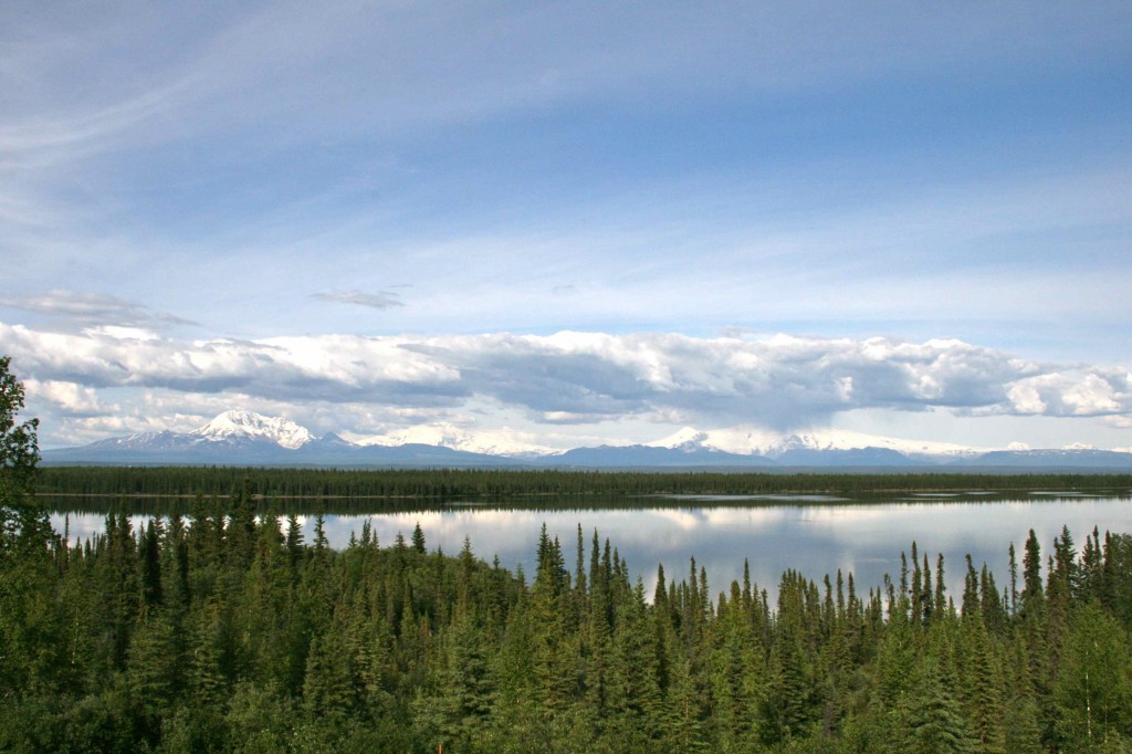
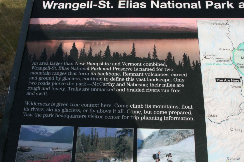
At this lookout point we are seeing three distinct peaks. This one is Mr. Wrangell and is farther away than Mt. Drum but imposing nonetheless.
There they all are. Mt. Drum on the left, Mt. Sanford in the middle, Mt. Wrangell on the right. The reflection on the lake is easy on the eyes as well.
This country is so big it is really hard to get a grasp on how vast it all is. Ed said it best when he told someone that it was 200 miles to anywhere. I think it can be even farther in many cases.
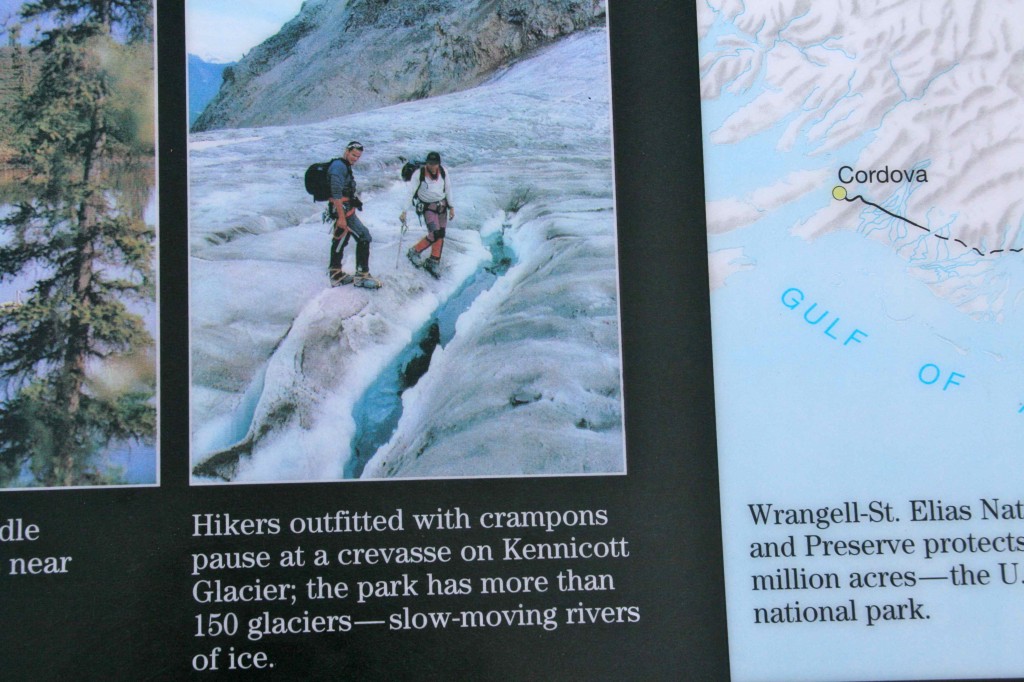
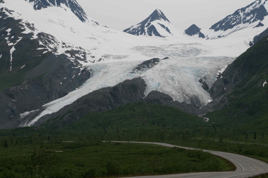
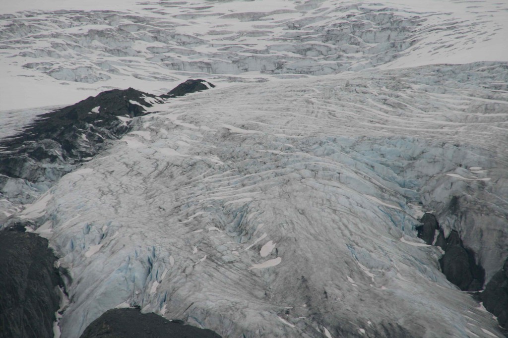
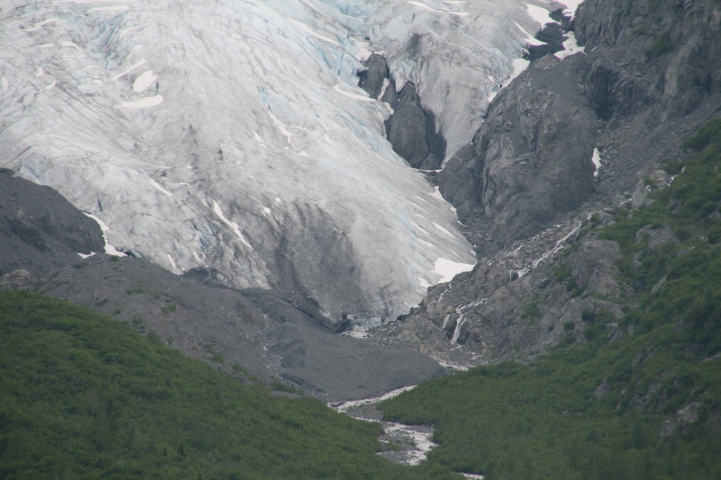
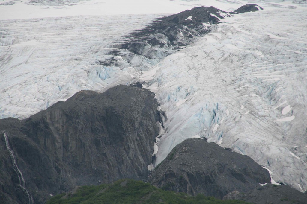
I have seen more than one warning about not walking on a glacier unless you are knowledgeable and are prepared for crevasse rescue. We are neither!
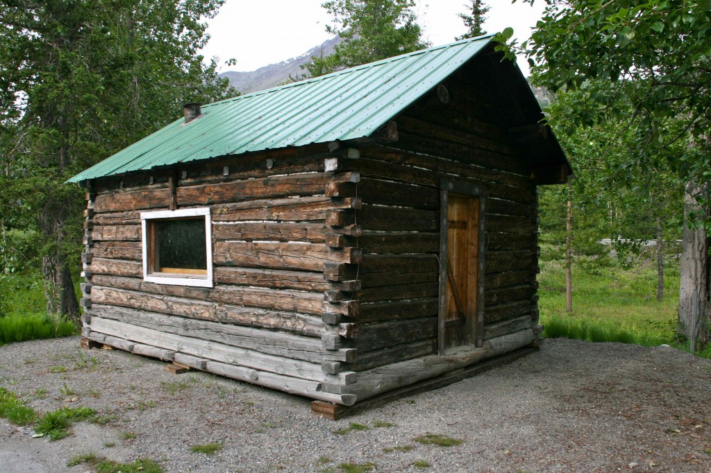
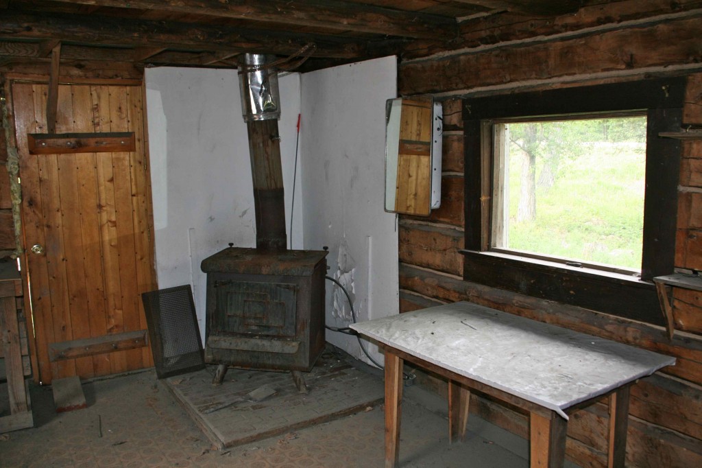
This miner’s cabin is by the pullout for anyone to enter and check out. It isn’t part of a museum or anything formal. Just go in and see what life was like.
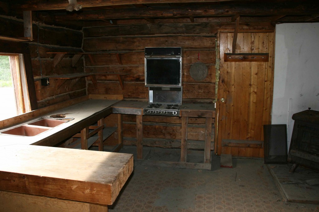
Small space was important because it was more efficient to heat. This is very small and efficient. It would have had all the necessities. We are curious where the power would have come from. Maybe they just used gas, but where did it come from?
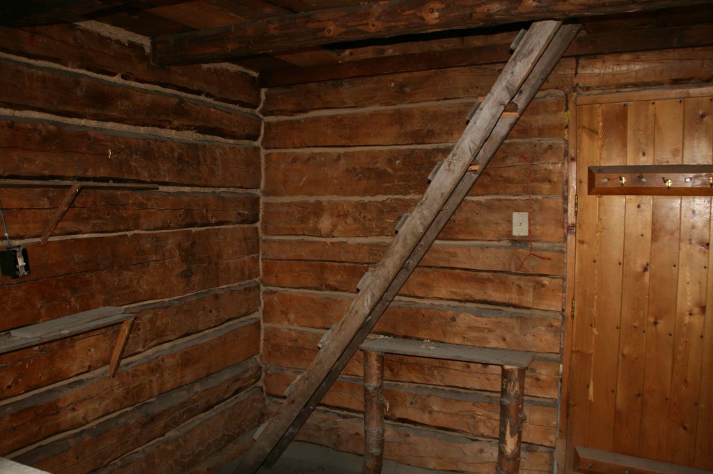
The ladder up to the loft was interesting, but I didn’t want to know what else might be waiting in the loft. I passed on the idea of testing the ladder.
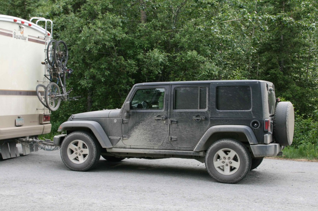
This poor Jeep has never, never, never, never been this dirty. There is the stickiest mud clay everywhere. It is down in the hinges, in every crevice there is. It will take a year to get this thing clean again!
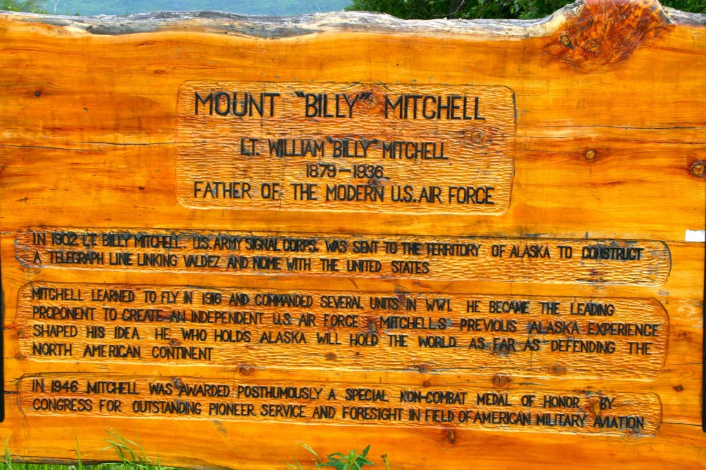
Working for the airline, I had heard about Billy Mitchell. I didn’t know that he was involved in constructing a telegraph line from Valdez to Nome. You have to look at a map of Alaska to appreciate what that project entailed. We aren’t going to Nome. You can’t get there from anywhere unless you fly or take a ship. It is on the far western edge not that far from the Russian Federation.
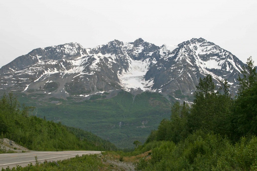
This is the mountain that was named for Billy Mitchell.
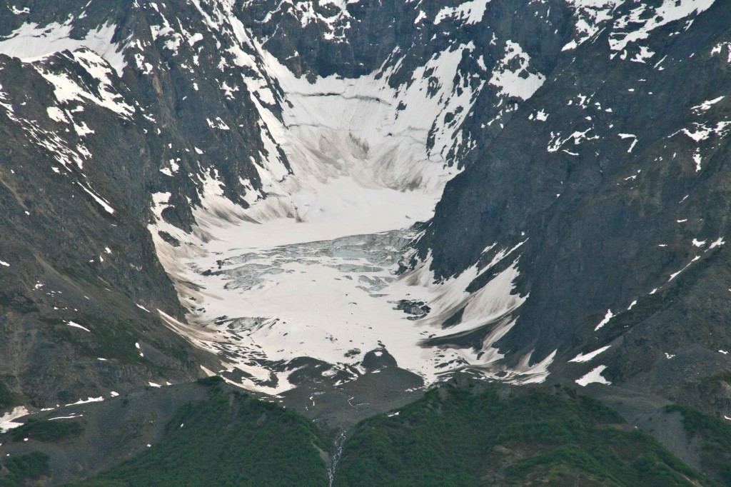
The glacier on Billy Mitchell Mountain.
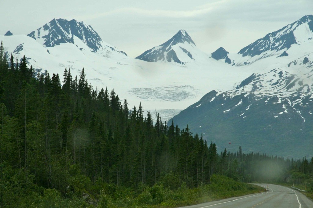
This ice field is huge.
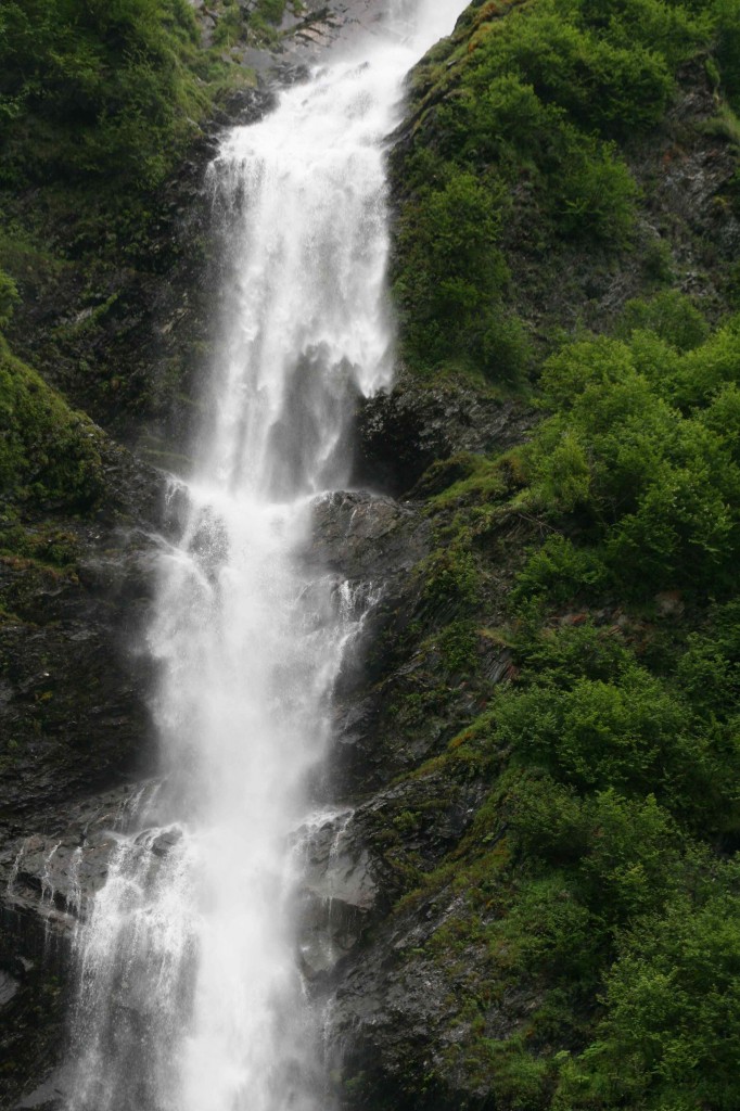
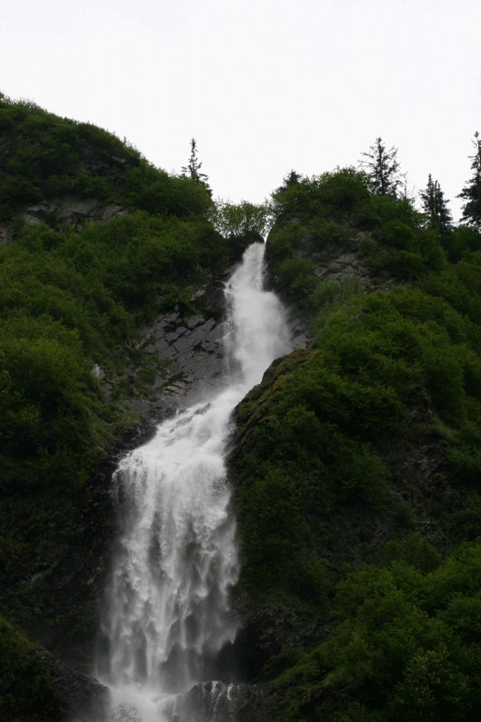
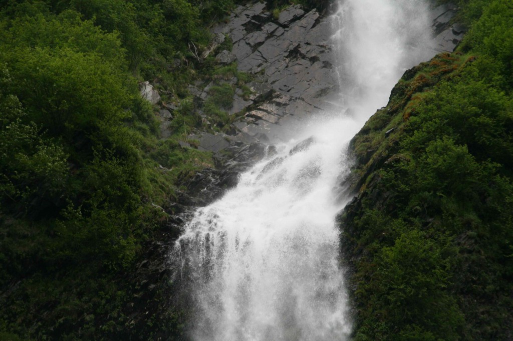
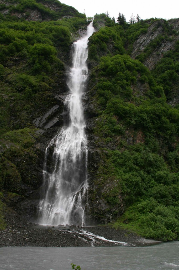
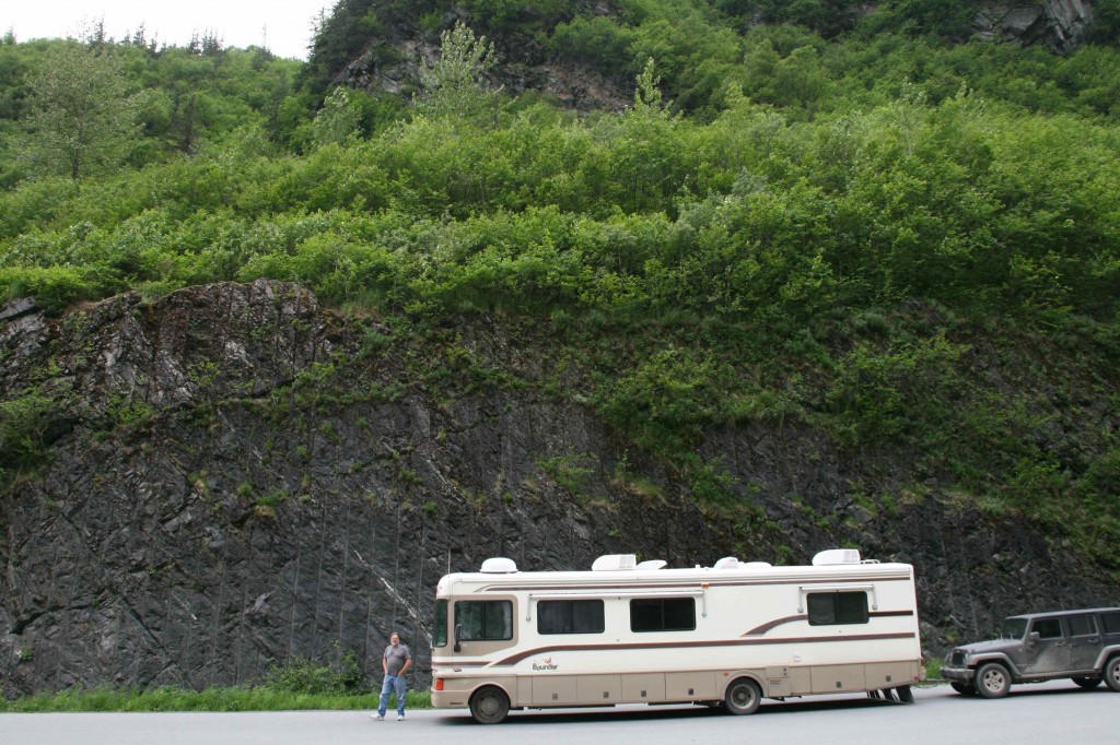
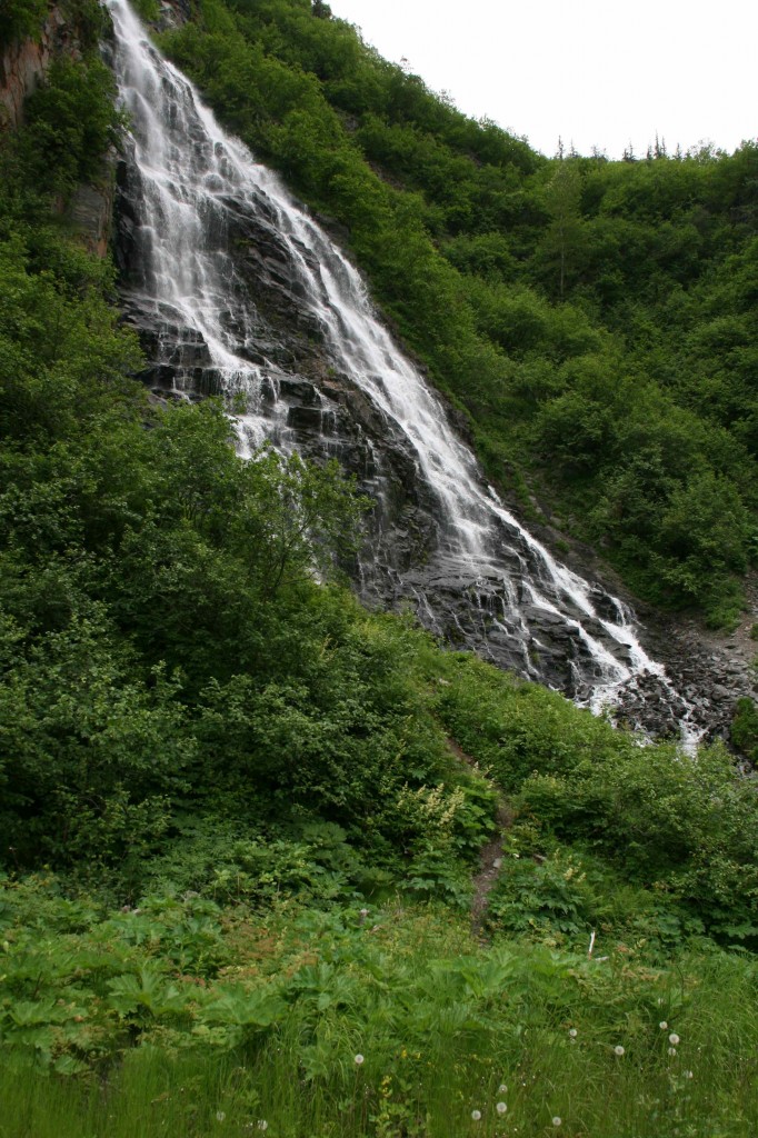
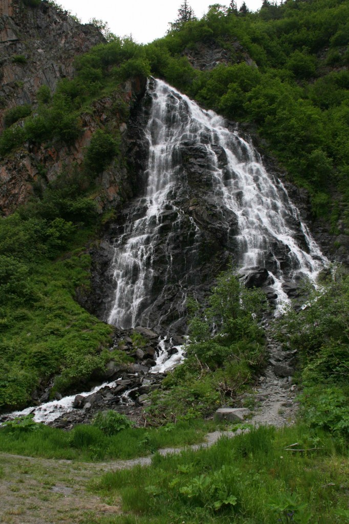
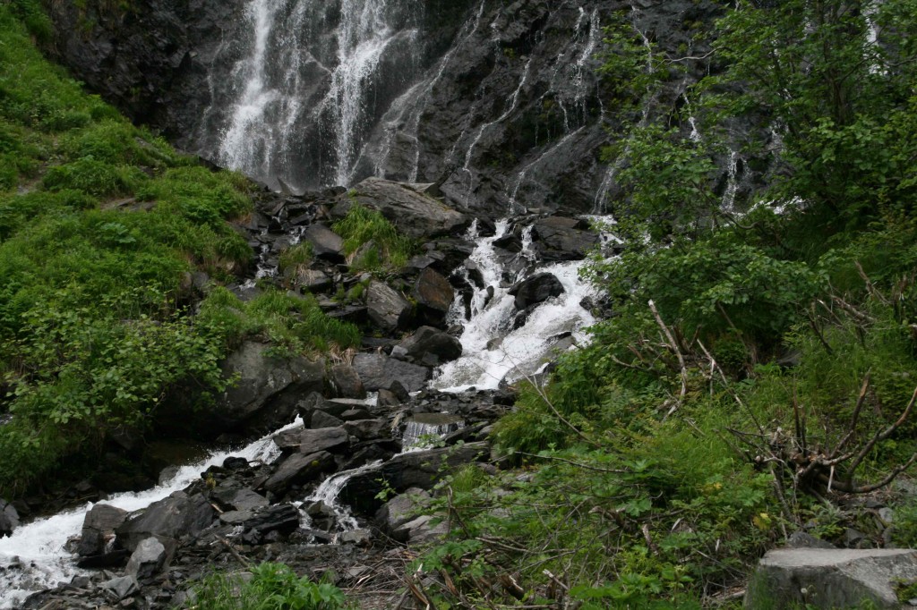
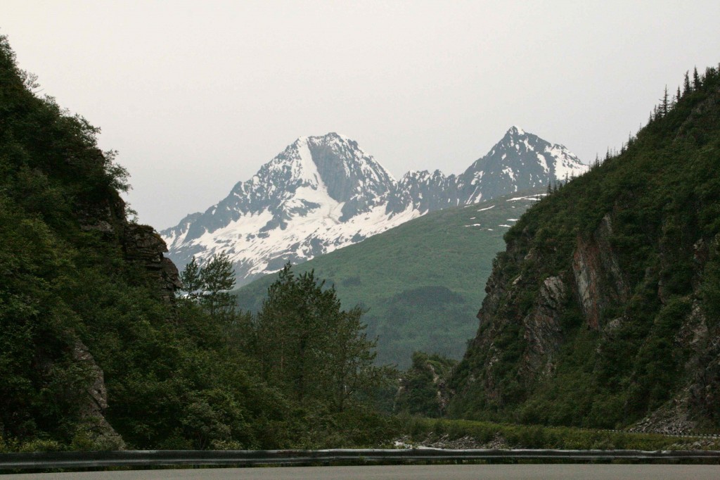
As we near Valdez, we travel through Keystone Canyon. This is a narrow, high-walled, green, lush canyon that is again just stunning in its natural beauty. As we come around a corner, we are greeted with Bridal Veil Falls. Wow!
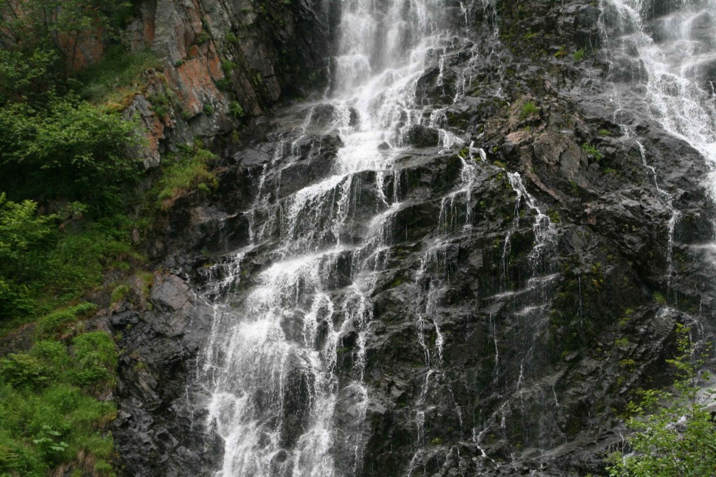
Just down the road from Bridal Veil Falls is another spectacular sight — Horsetail Falls. The stair steps in the rock make it look easy to walk right up this one.
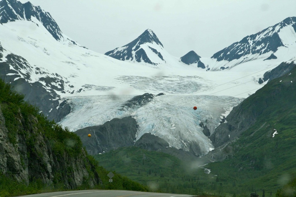
It is getting late in the day. The clouds have moved in. We need to get on into our spot for the night. We will be back to see the wonders of Worthington Glacier on another outing.
We are going to be really checking out this place. It is beyond beautiful. Life is very good!
