Crossing the Canadian Border in an RV is always an interesting event. We have heard horror stories about RV’s being literally taken apart and everything gone through with a fine-toothed comb. Fortunately, to date, that experience has not been ours.
We crossed the border two years ago at Blaine, Washington, a crossing that is designed to handle high volume. Today, June 2, we have decided to cross at Aldergrove, a small, not heavily used, crossing. All of a sudden we are at the Canadian Customs stop and third in line. Again, as was the case two years ago, the usual questions about identity are followed by “do you have any weapons?” Canada really cares about whether we are packing. The answer this time is a simple “No.” We are waved through. No fuss, no delay, no hassle! Woo hoo! It was too fast a process to get the camera fired up. No border crossing pictures today.
The goal from here is to get out of the Greater Vancouver area and away from traffic. After a quick stop at the Safeway in Aldergrove, we are on our way to getting lost. The sign for Highway 1 is not seen by either one of us until too late. We miss our turn and now have to get this rig turned around. Through a small neighborhood that hopefully has no low bridges, we finally wind our way back to a road that will give us another shot at the turn onto the onramp.
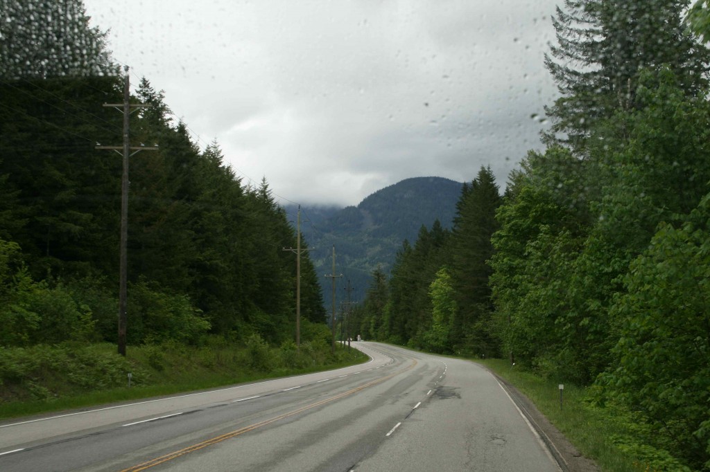
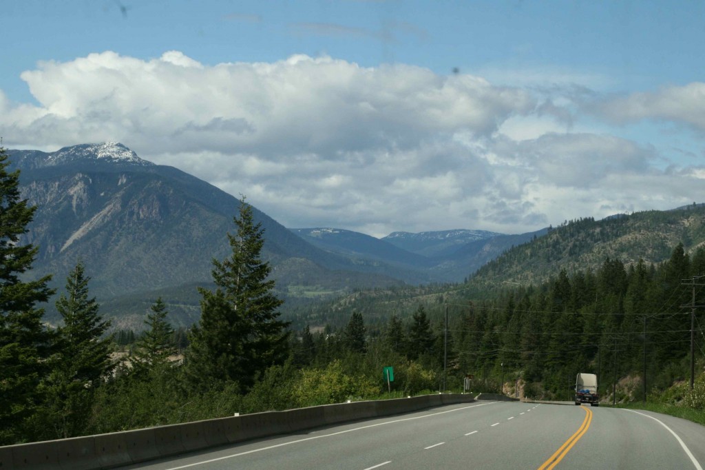
The traffic is fairly heavy as we whistle on past Bridal Veil Falls. You can see falls from the highway; however, we have seen so many great waterfalls, stopping at this one doesn’t seem to be necessary. Once we are north of Hope, traffic starts to thin out a bit. About 30 kilometers or so north of Hope, we are in Fraser Canyon, a beautiful scenic place to be.
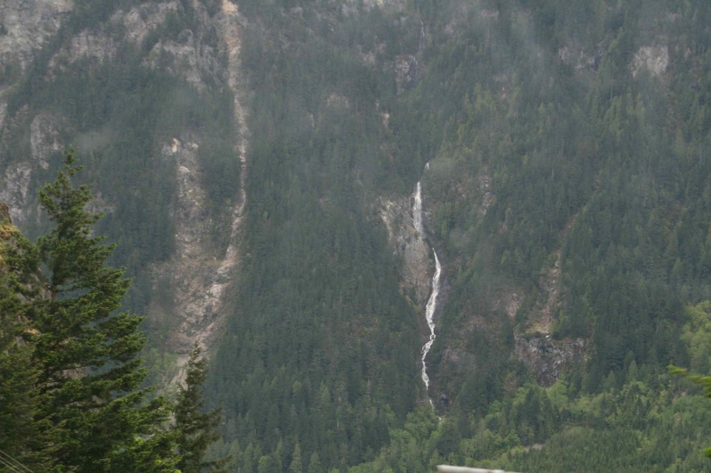
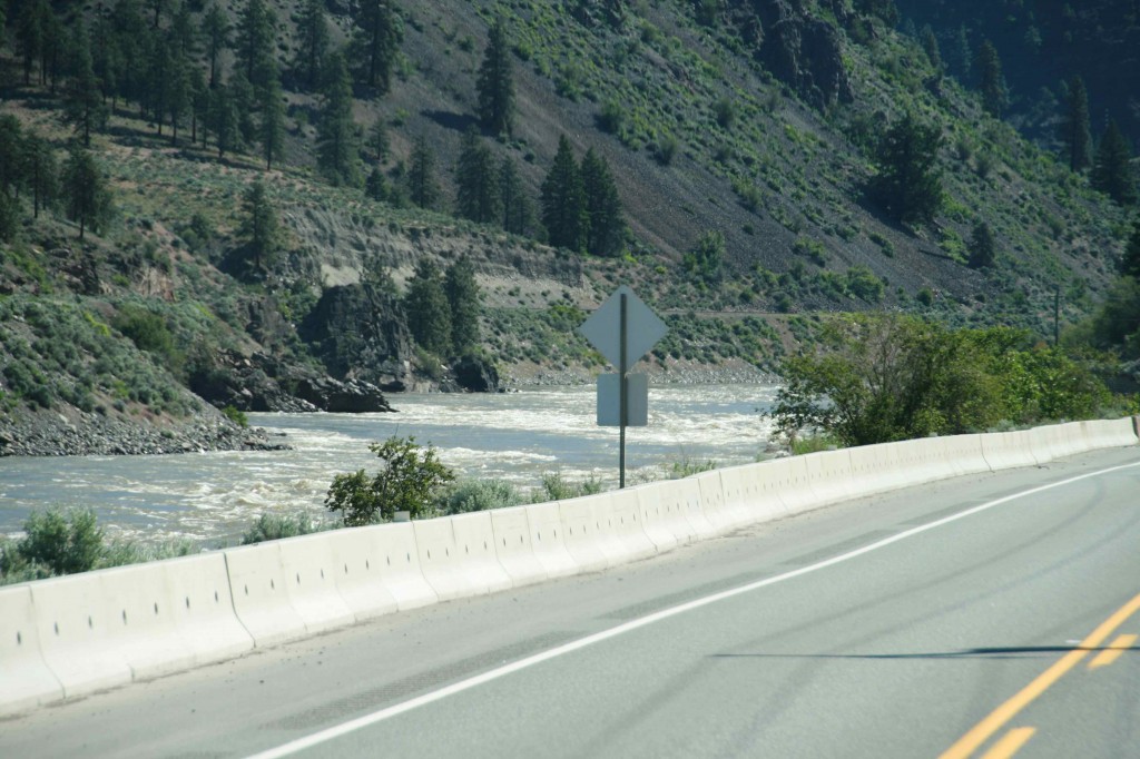
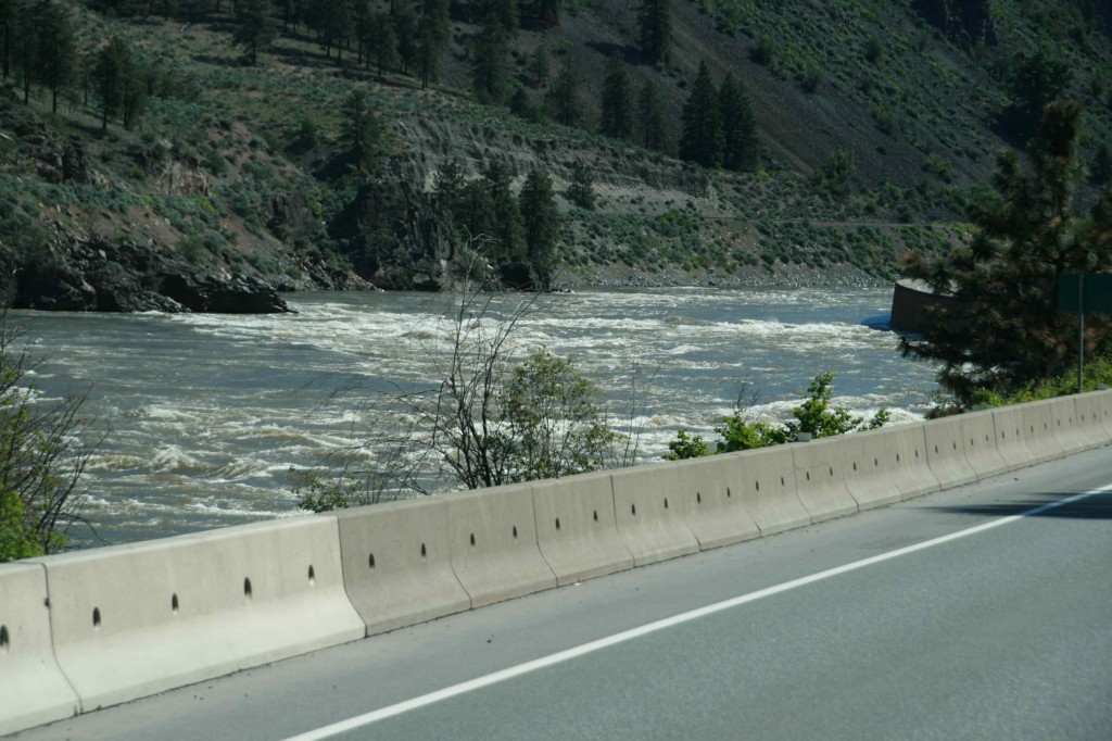
Narrow rock gorges have been carved out of the steep canyon walls by the rapidly descending Fraser River. The river is being fed by, among other sources, the runoff from the cascading waterfalls flowing out of the side of the mountain. Traveling through this wild and beautiful canyon is a rich experience no matter what the weather. The low clouds, mist, and occasional light fog lend a mysterious quality to the canyon.
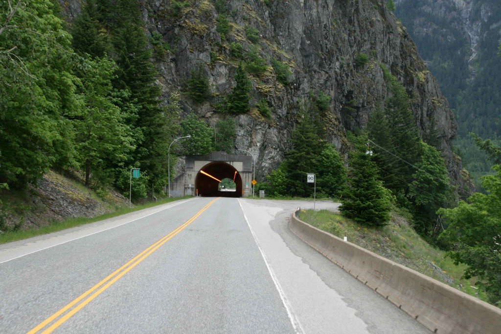
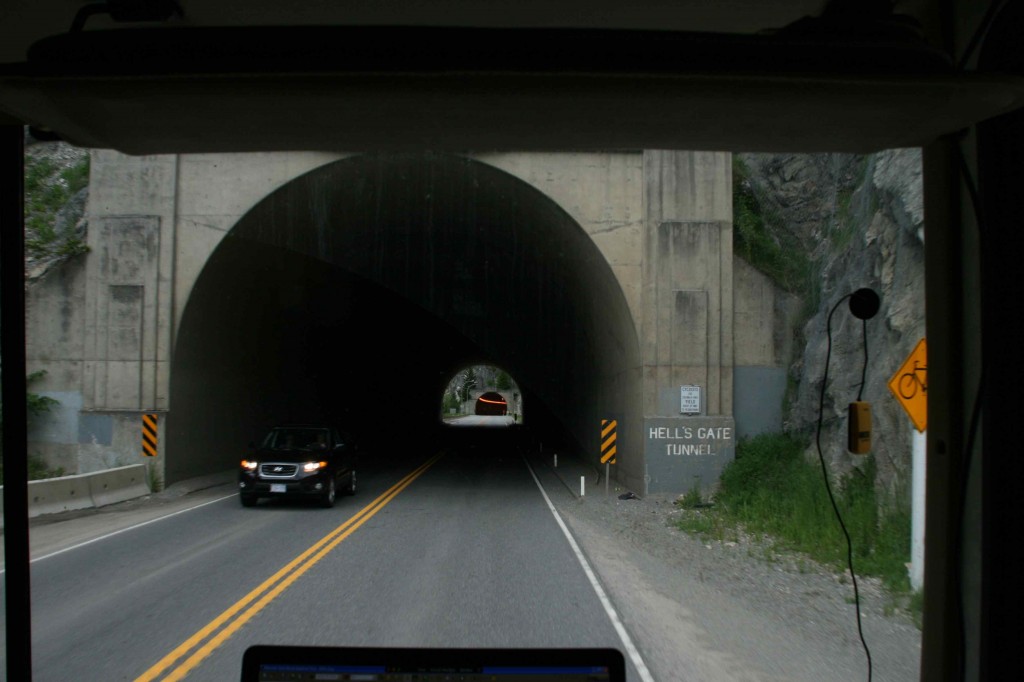
There are several tunnels that we drive through as we head north through Fraser Canyon. Seeing the strange symbol on the map, when planning our route, sent me to the internet for further research when I realized that the funny symbols were tunnels. Will we fit through? No problem. The picture I found, when checking it out, had an eighteen wheeler barreling through. We are confident as we head for the opening of the Yale Tunnel, the first of the series we will traverse.
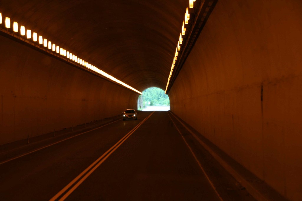
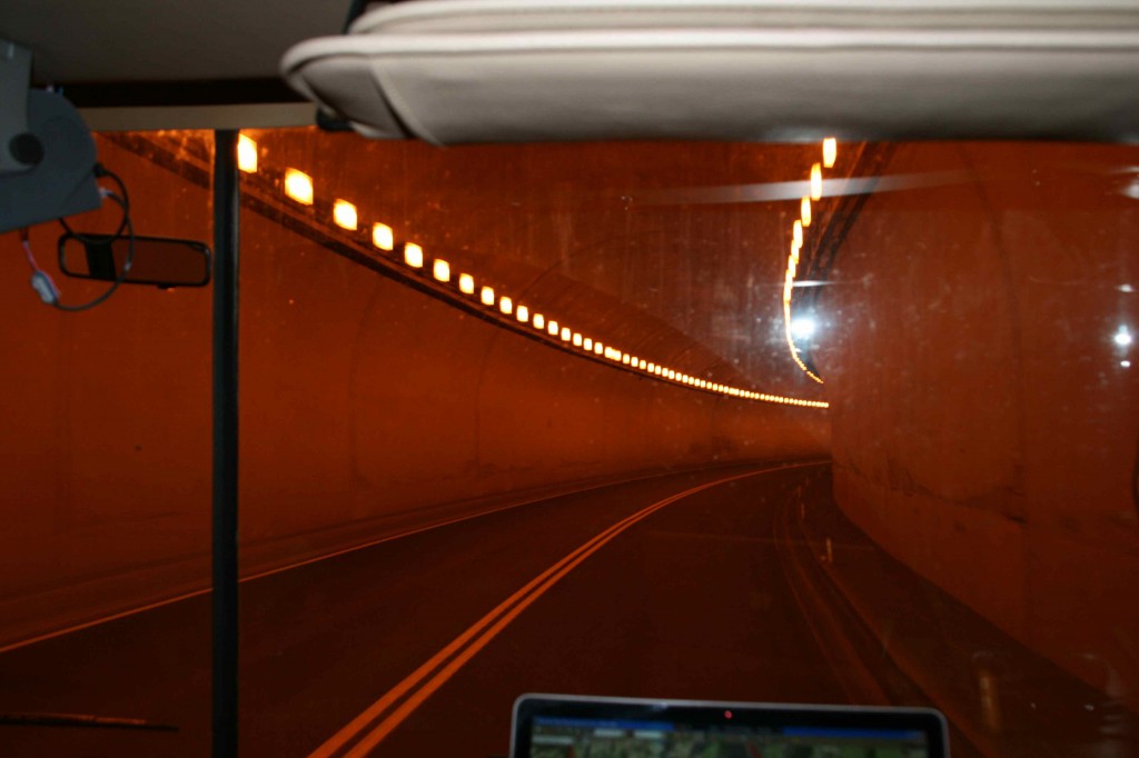
The tunnels are large and well lit.
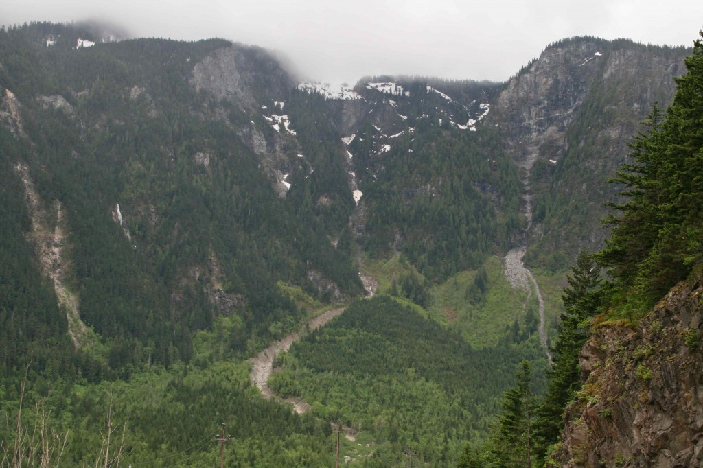
Stopping at a large pullout, we can look back down over the road already traveled.
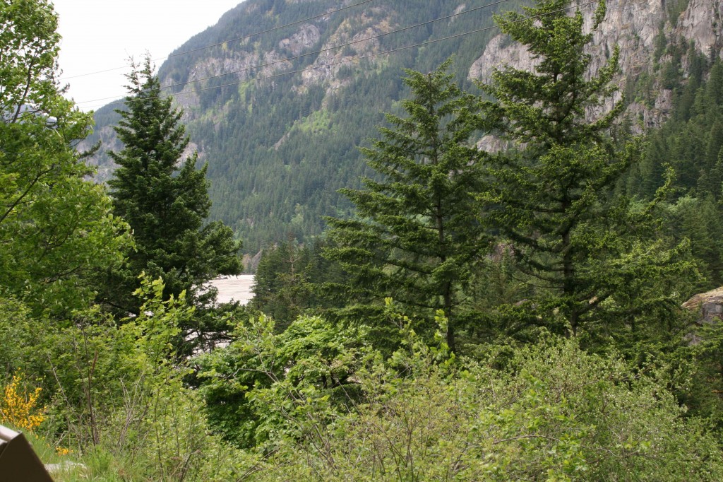
The view up the road gives us a glimpse of the Fraser River.
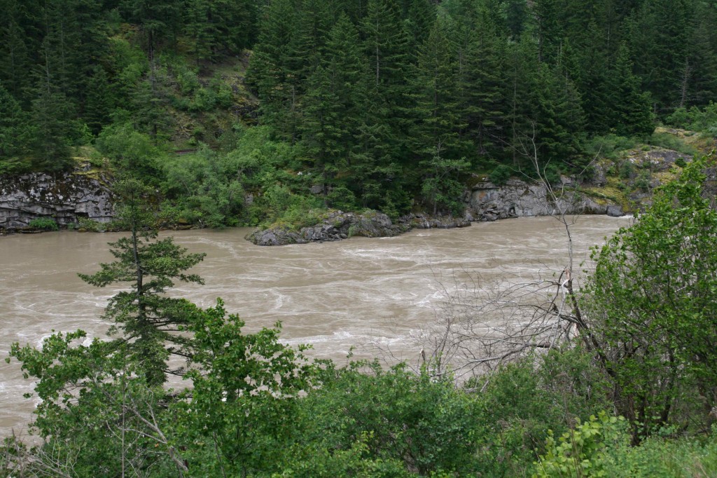
By hiking up a short path, I am able to get a clear view of the roiling river. It is filled with swirls and eddies as it rushes down the mountain. Would it be an interesting river to raft?
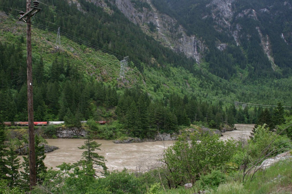
The train rolling on the tracks on the far side the river give the scene a bit more interest. Wouldn’t this picture make a fun jigsaw puzzle?!
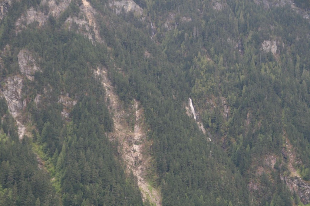
It appears that water is just pouring out of the mountain in several places.
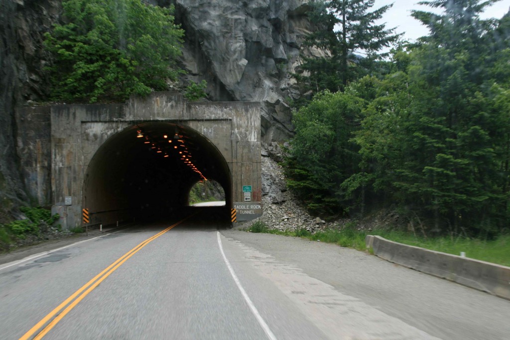
The second tunnel is Saddle Rock. There is even a bike path on the left side of the tunnel.
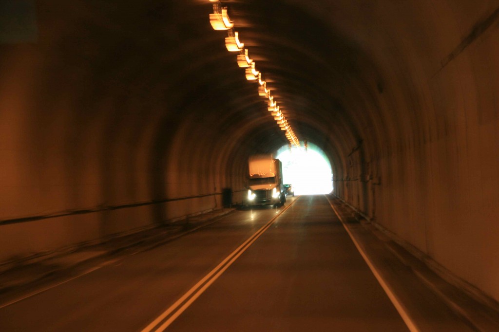
We have our own picture of a big truck coming through the tunnel. When you have heard the sound of air conditioners being ripped from the roof of your RV, the sight of big trucks is very comforting!
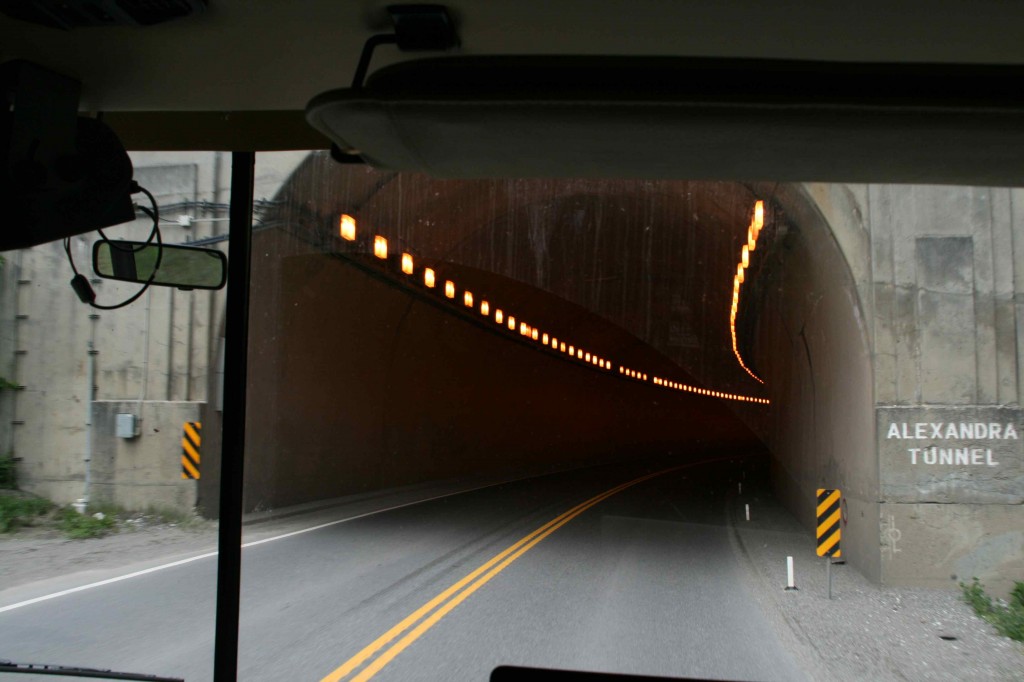
The Alexandra Tunnel has a bit of a curve. It is the longest so far.
The canyon walls above the Hells Gate rise 3,300 feet above the rapids. We have seen ads for rafting Hells Gate. There is also an air tram that takes tourists down to the rapids to feel the boiling rush of the waters as they pour through the narrow gorge. Tourists can also see fish ladders that were created on the canyon wall to help the salmon get around the rock slide that diverted the river when the railroad was built in 1913.
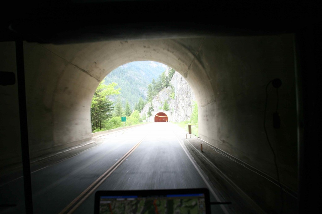
The exit of the tunnel frames the entrance to the next tunnel.
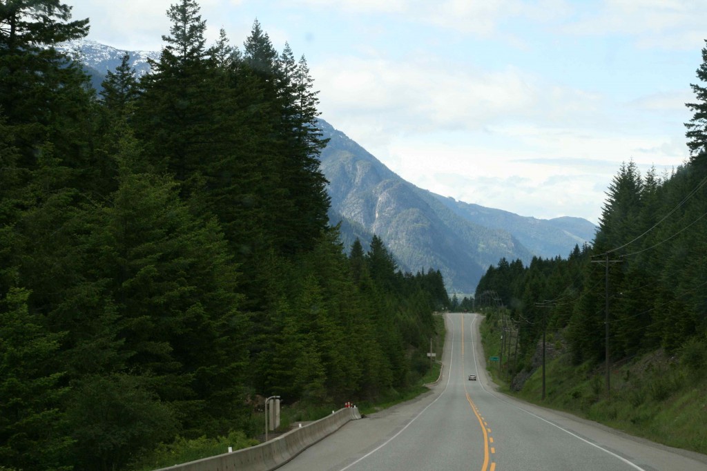
With the tunnels behind us, we are moving on down the road. The sky is starting to clear as we are getting farther from the coast. It is turning into a beautiful day.
This country has a whole bunch of pretty! Tonight we camp in the Skihist Provincial Park. It is a beautiful spot. $21.00 for no electrical, no water, and no sewer, but it is gorgeous. The bugs are free.
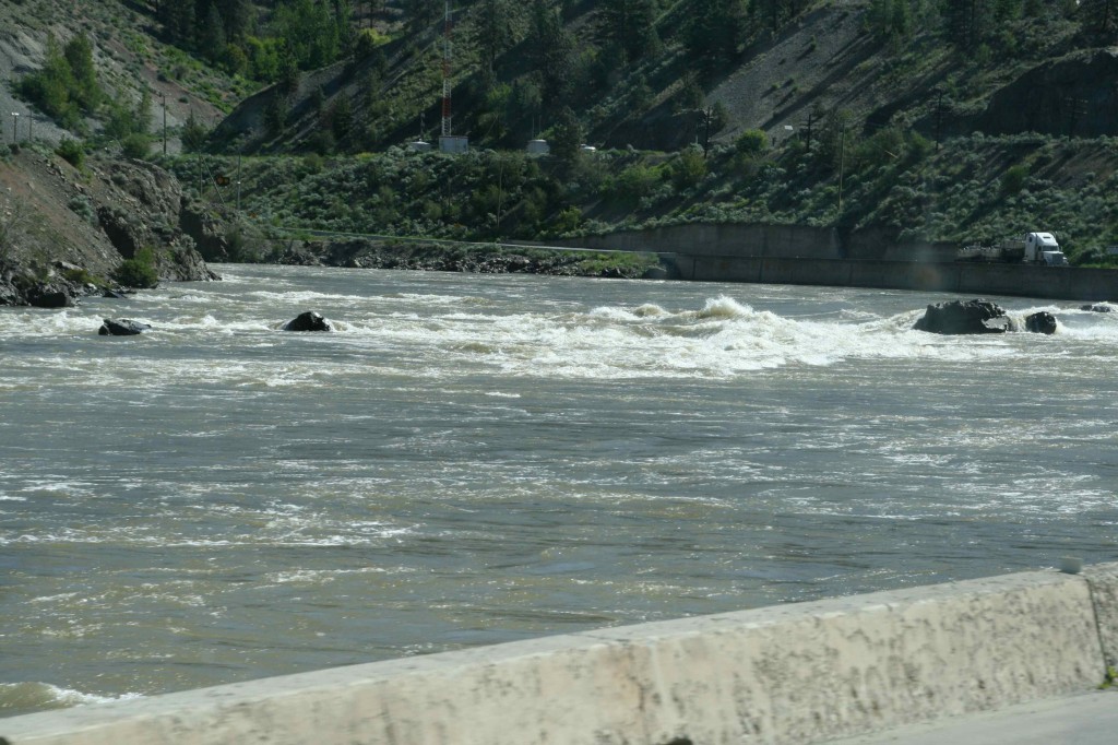
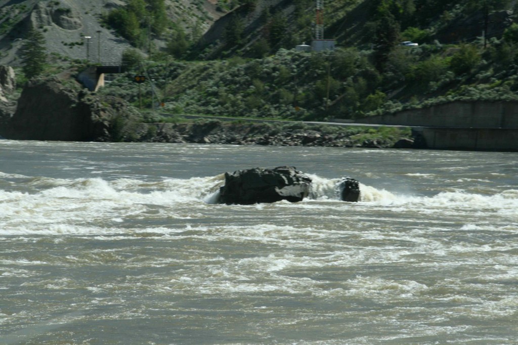
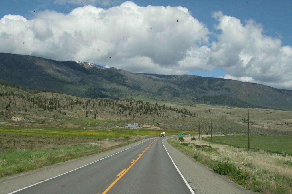
June 3 dawns sunny and warm. We continue up Highway 1 to Cache Creek where we bear left onto Highway 97. The San Jose River is flowing rapidly on our left.
The white water is really pretty as it washes around the rock in the middle of the river. The spring runoff is creating beautiful water displays.
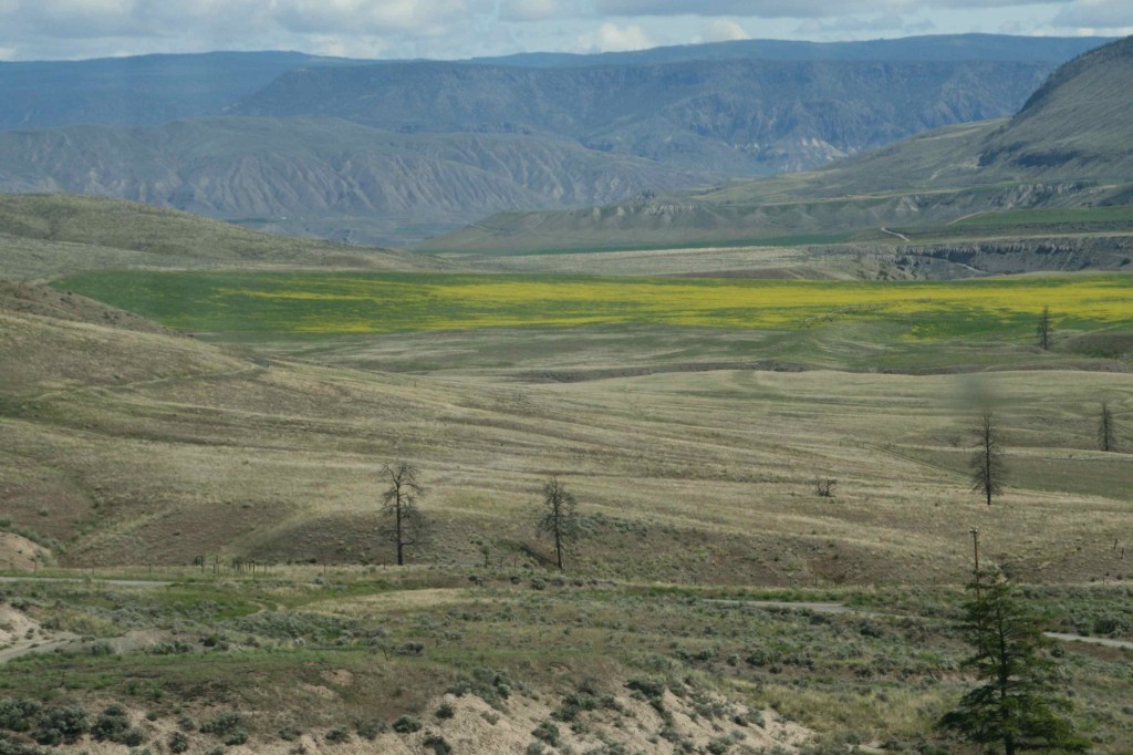
We have been seeing vast fields of yellow. It looks very much like some sort of crop, but not quite right for that. It is dandelions. Who knew weeds could be so dramatic!
It is so good to be alive on a day like today. Tonight we stay in Clinton at the Gold Trail RV Park. The rate is $15.00 a night for with a full hook-up. What a deal. We have decided to spend an extra day just hanging out to catch up with life. We have internet and everything. On the second night we decide to wander over to the office to partake of the all-you-can eat buffet with a choice of steak, chicken, salmon, or roadkill ribs (they are free if you can tell what animal they are from!) I have opted for the salmon and Ed is going for the steak. Neither of us is venturous enough for the roadkill.
The owner is a real character. He is ready to give everyone a hard time (all in good fun) and keeps dinner lively. There are two other tables of Alaska-bound diners, and we are all talking with each other as well as with him. I would recommend this as a place to stop for anyone coming up this highway.
The owner of the Gold Trail RV Park loaded us up with brochures for the various upcoming attractions, but more importantly he sold us a copy of Milepost. It is a must-have book for anyone traveling to Alaska. It literally gives a mile by mile detailed description of what you will see and what you should stop and do. I wish I had had this book when we were doing the planning. Better late than never.
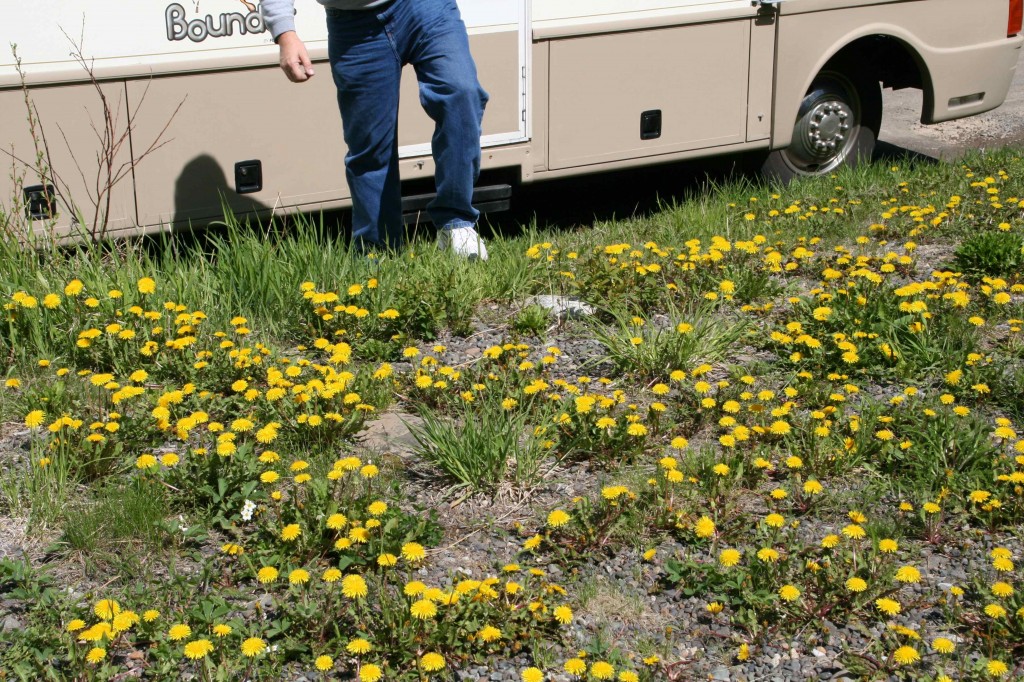
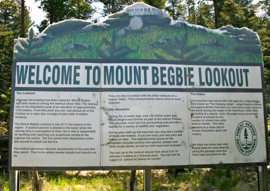
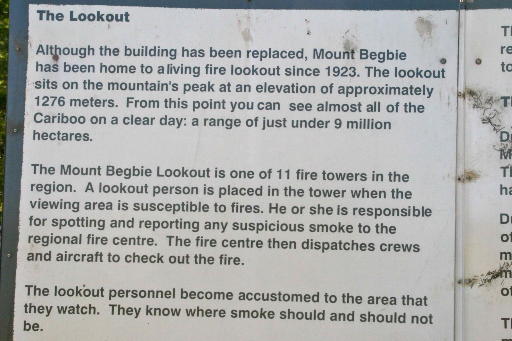
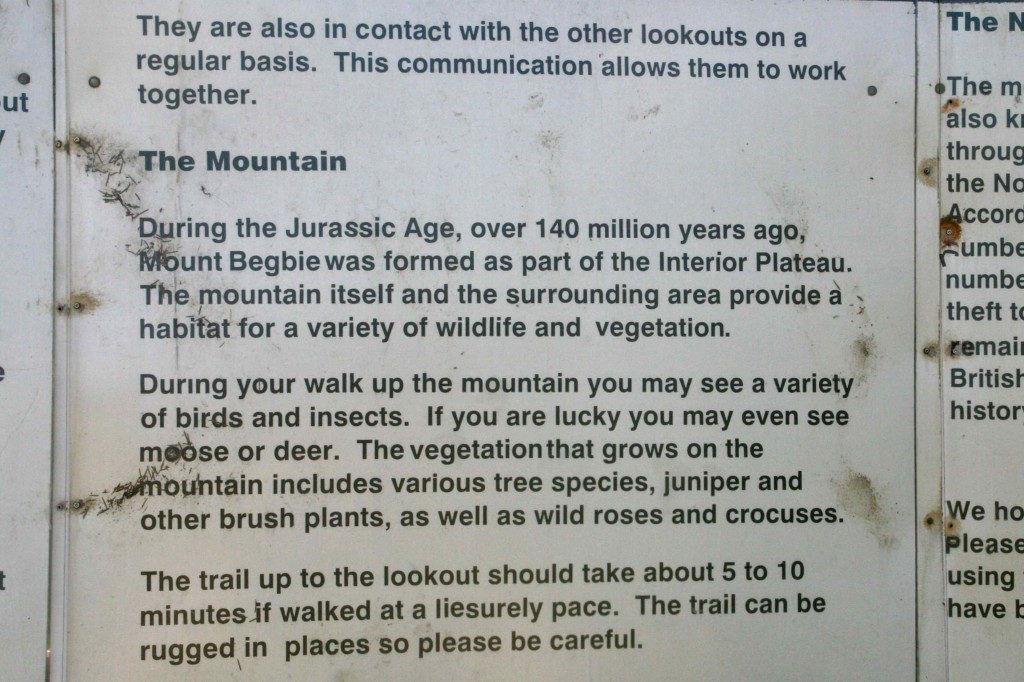
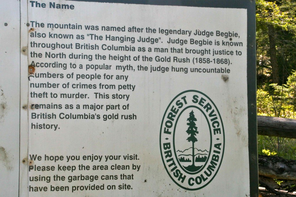
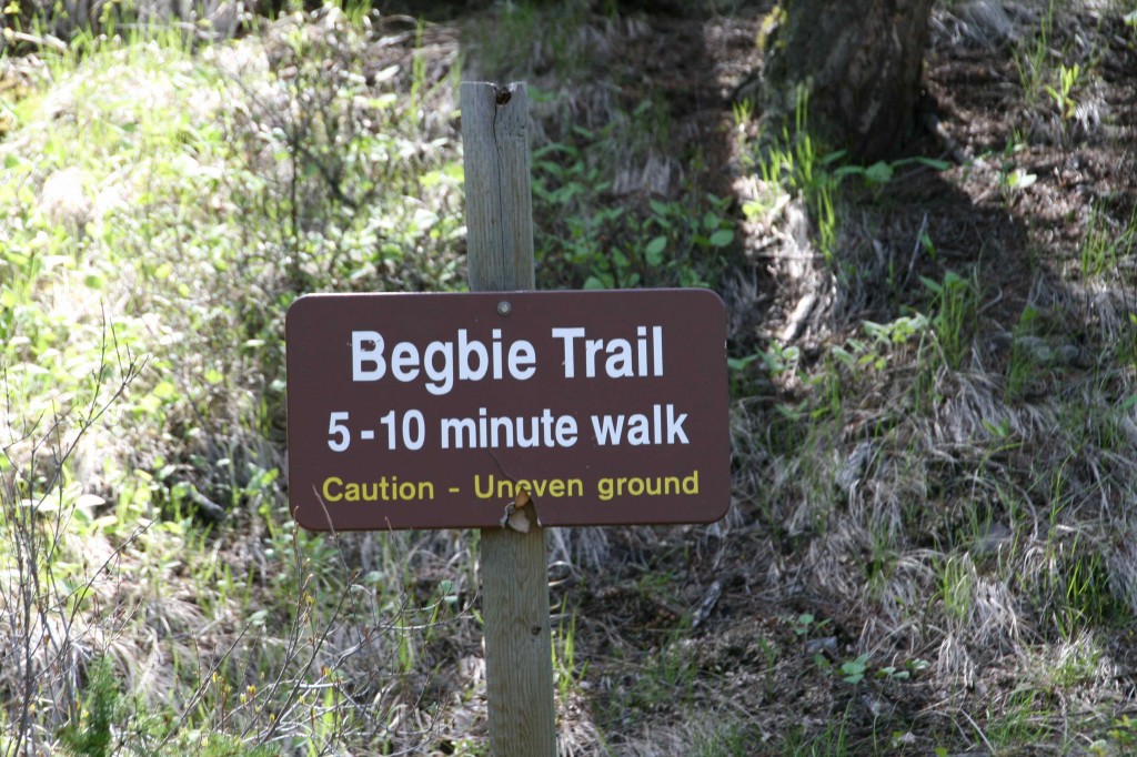
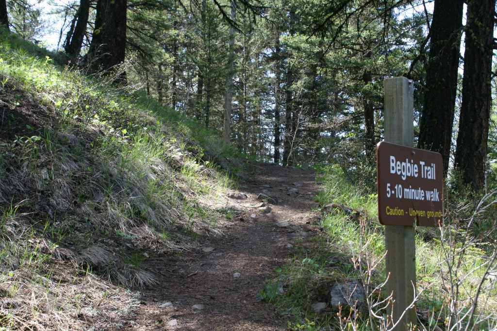
One of the first items of interest found in the Milepost after we leave Clinton is the Mount Begbie Lookout Tower. We have easily found the pullout and turned in to park next to a patch of dandelions. These are the flowers we have been looking at in all the fields.
We have been sitting way too much. It is time to get out here and do some hiking. It is a short trail but steep.
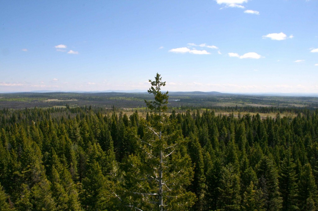
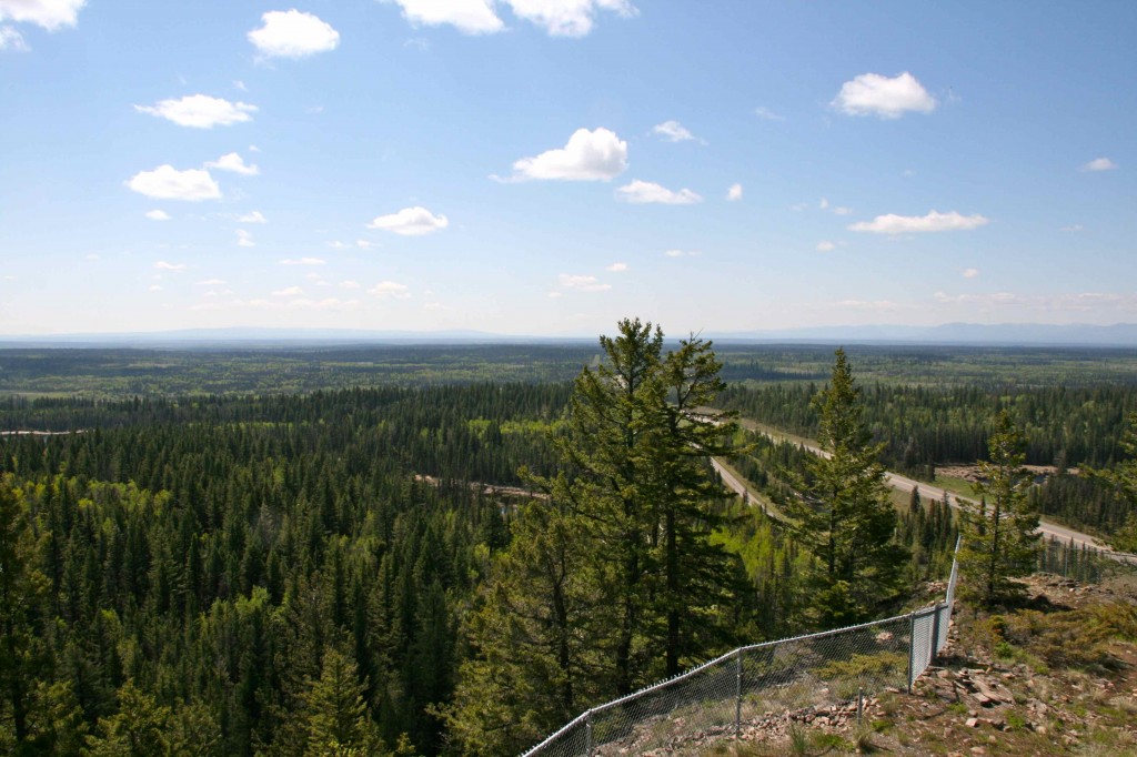
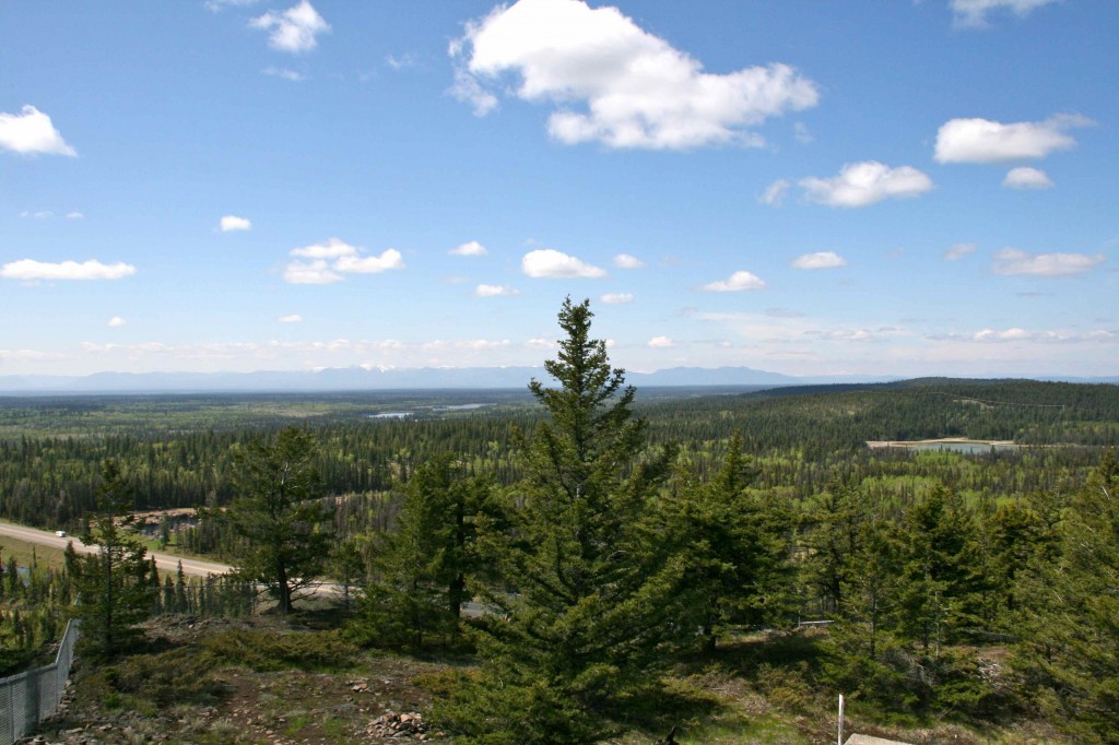
The view from the top has made the climb very worthwhile. Visibility today is really good. It looks like we can see a hundred miles!
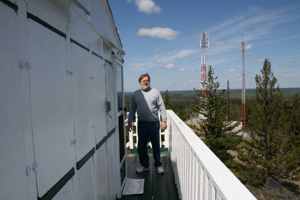
This balcony goes all the way around the fire tower, giving us a 360 degree view.
We are looking back down Highway 97 towards Clinton.
Those mountains in the distance are a long way off. There is no smog or anything brown in the air. Wow. This was so worth it.
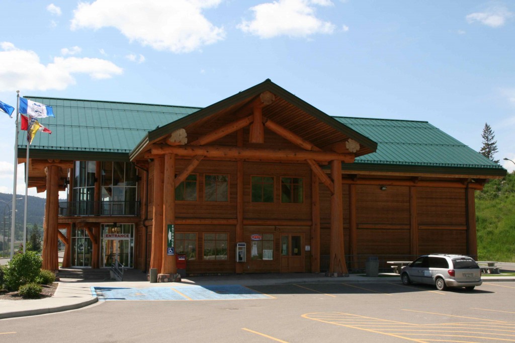
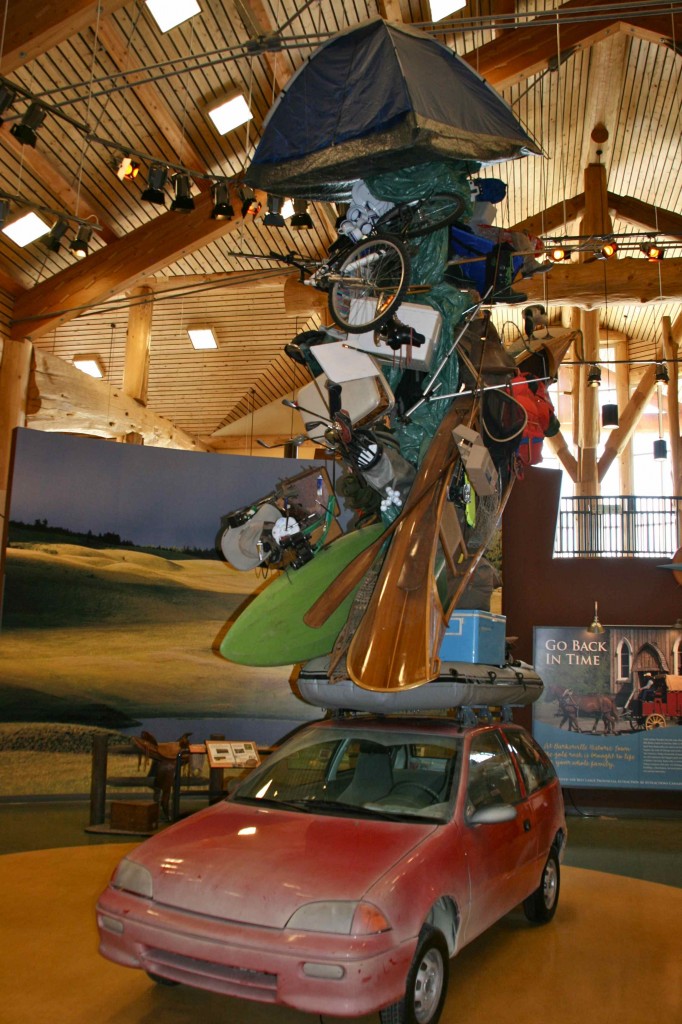
The Visitor’s Center in Williams Lake is supposedly a destination in and of itself according to the Milepost.
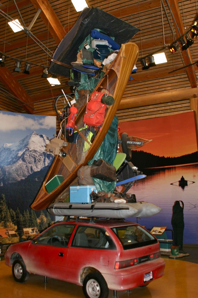
Seeing this bit of sculpture is why one would want to stop here. This dude is packed up and ready for vacation. Bring it on! The rubber raft, canoe, bike, tent, ice chest, fishing gear, hunting gear — you name it, he’s got it.
Golf clubs, artist’s case, and a tent on top. How did they get it all to stay up there?
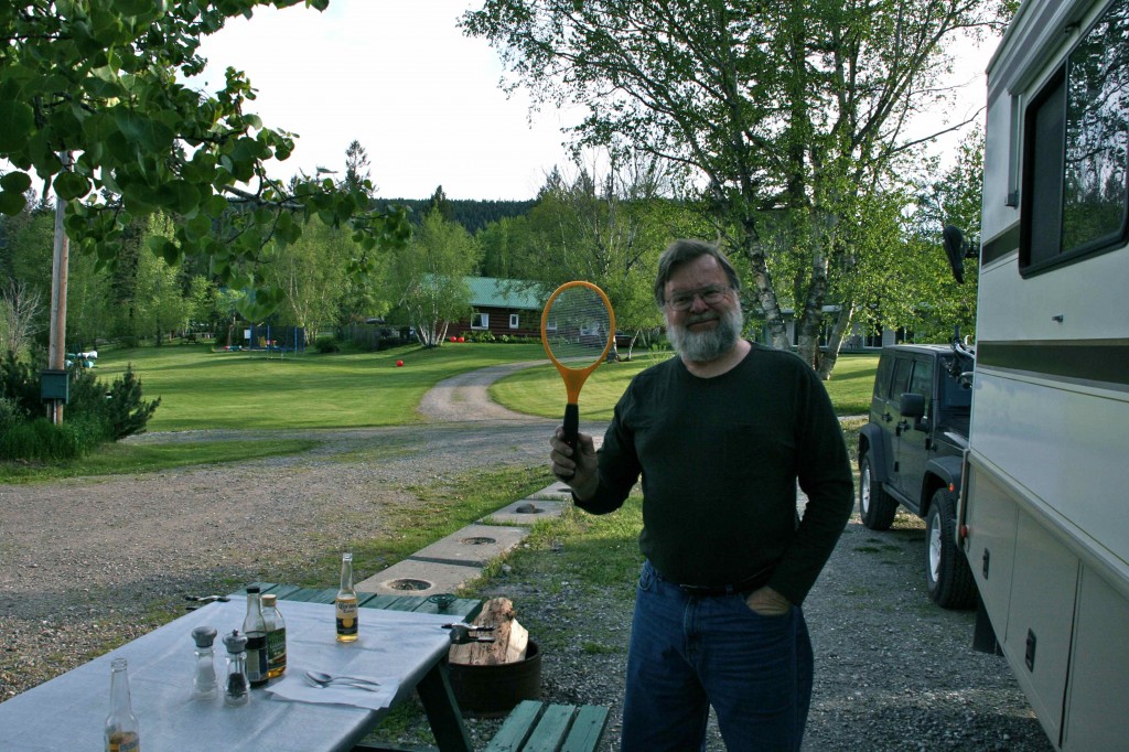
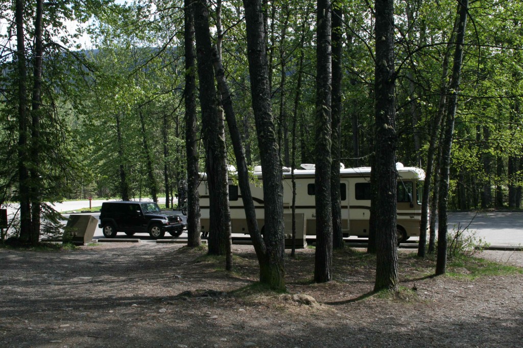
Tonight we are camping at McLeese Lake. We have a spot right on the lake. There are three pieces of firewood that have been left behind by others. It is a beautiful evening. It is time to dig out the barbeque! First we want to be sure we have the mosquito weapon at hand. This will be the first time we have really tested it out. It seems to be working just fine. It makes such a satisfying “zap” when it electrocutes the little buggers!
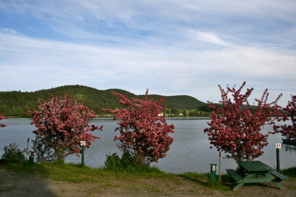
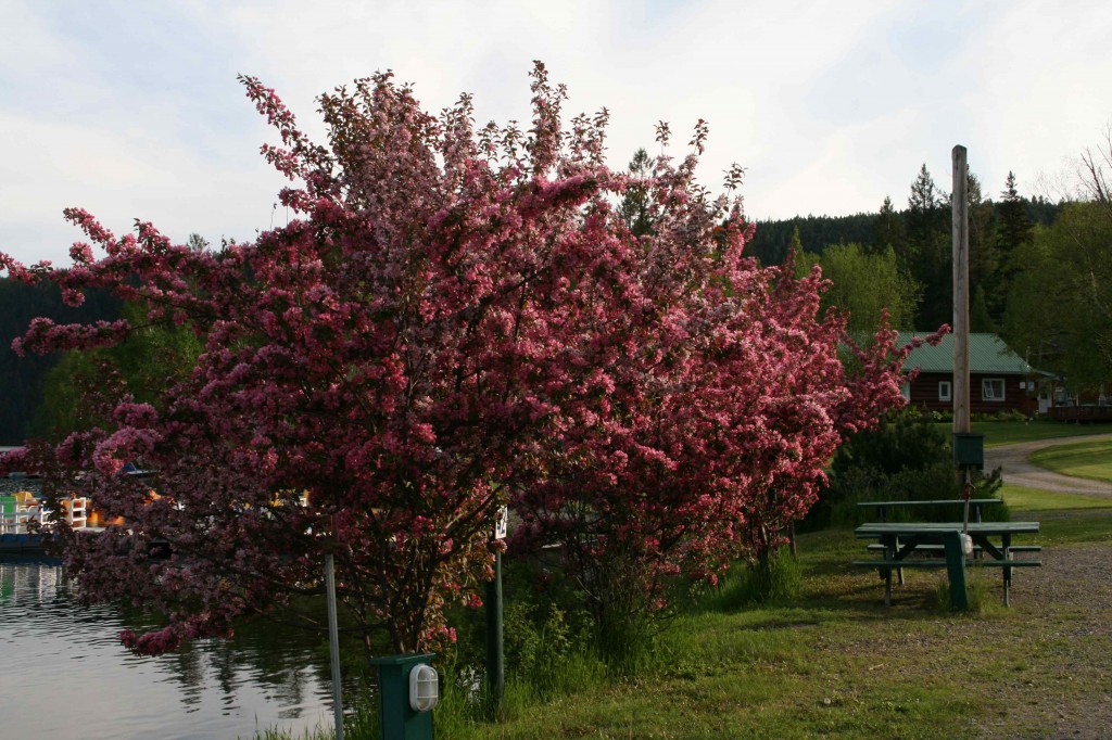
The red trees along the lake are in full bloom. What a great view from our dinner table.
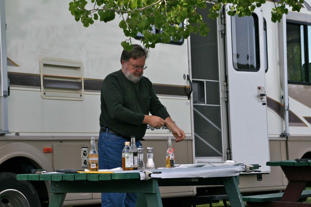
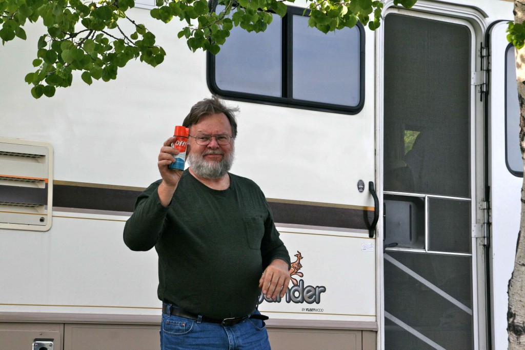
The chef first has to get his Off on.
The mosquitos are definitely out here, but for some reason they do not seem to be biting like usual. What’s that about? I have heard that Listerine works as a repellant; however, I haven’t had a chance to get a spray bottle for it yet. Also am I sure I want to be the test case? What if it doesn’t work?
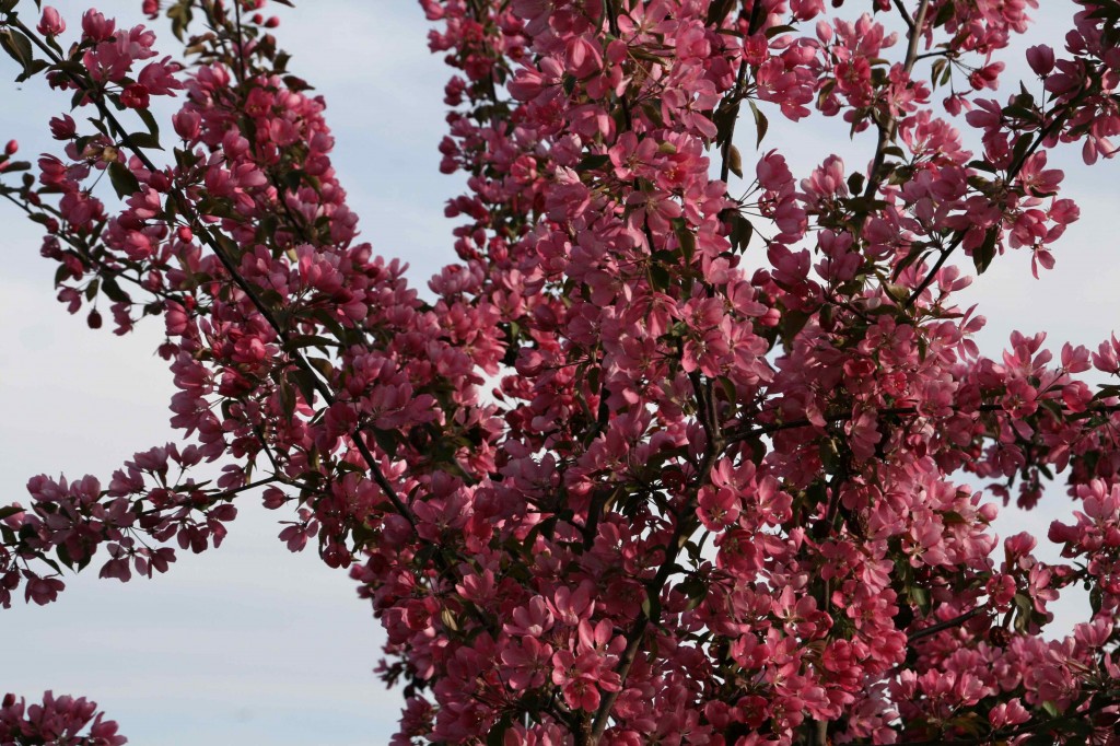
I am not familiar with these trees. I would definitely have to have some in my yard if I lived here.
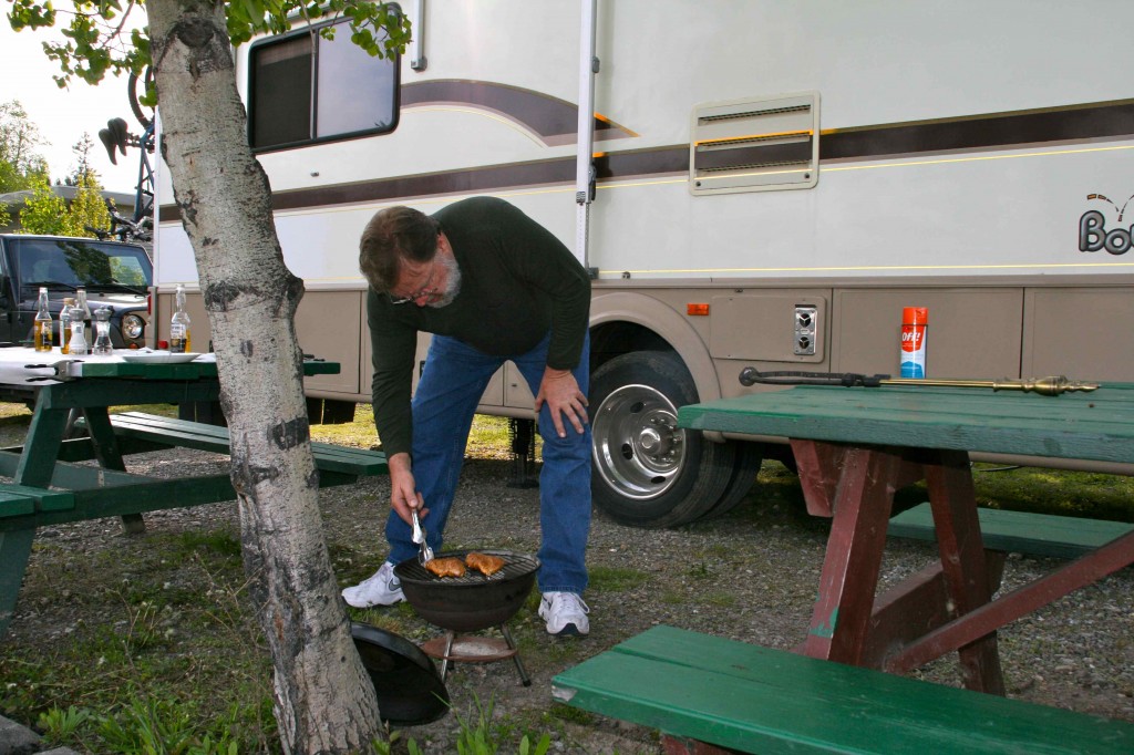
The chicken is cookin’.
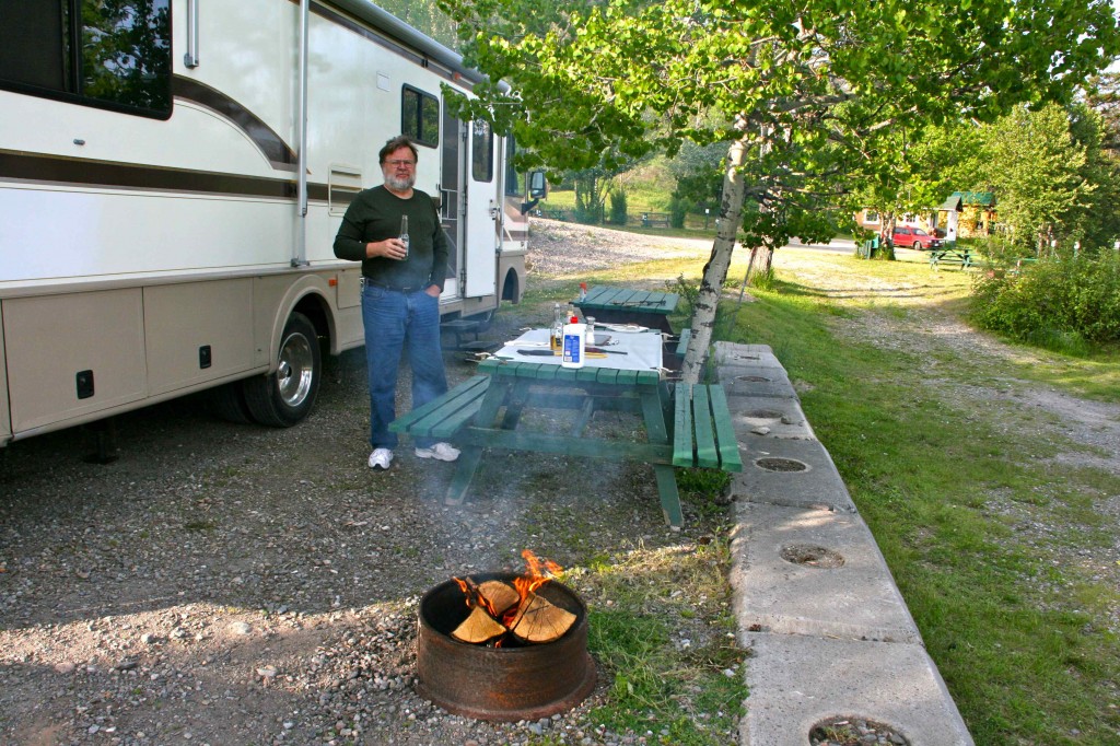
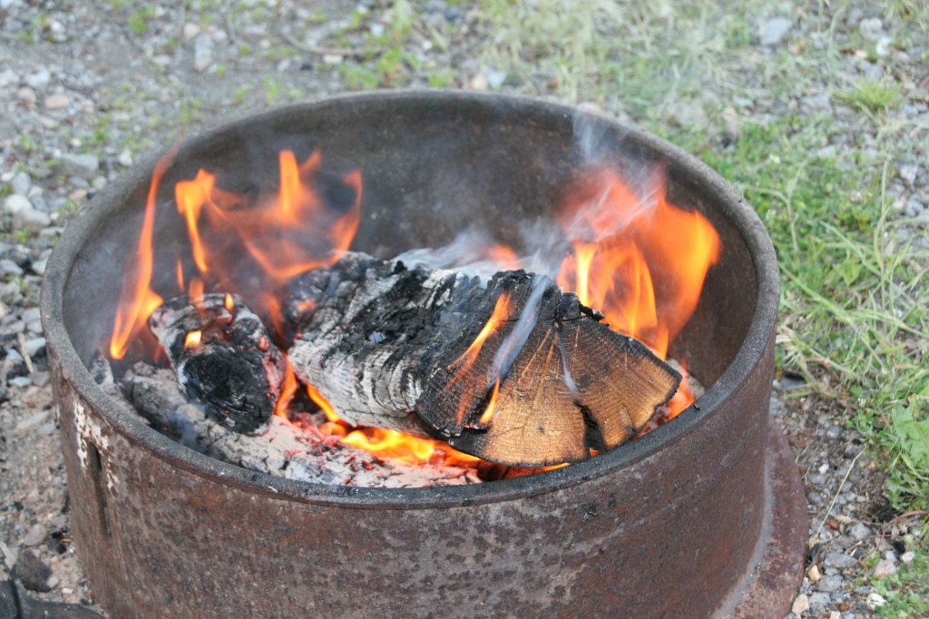
The fire has been started. The smoke may prove to be a bit of a problem. It seems to want to blow in the direction of the table. Of course.
It doesn’t get dark now until about 9:30 or 10:00. Waiting until the sun goes down to start the fire isn’t going to work. No worries. It is still pretty to look at.
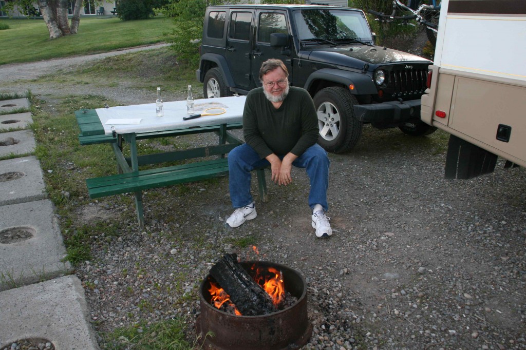
Dinner is over. We have moved the table to the backside of the smoke. It is time to sit and ponder life while we stare into the flames. There is something very relaxing about watching a campfire burn.
June 6 was spent at the Bee Lazee RV Park just to the south of Prince George. We washed the dirty Jeep, knocking off the majority of the dust, only to be in rain on June 7. It is now dirtier than it was before we washed it.
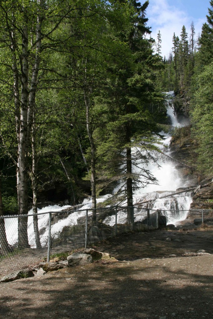
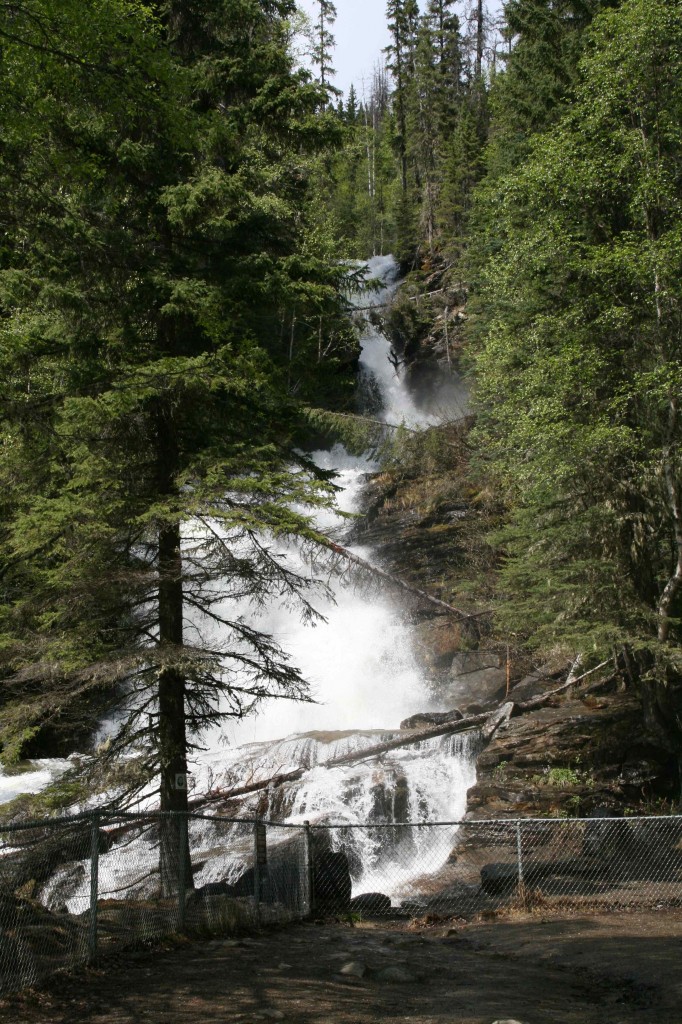
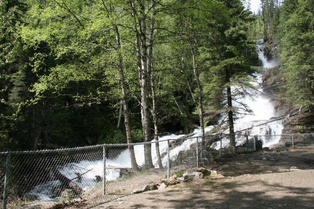
June 7 we are on the road to Chetwynd, British Columbia. The Milepost has suggested Bijoux Falls Provincial Park for our lunch spot today. It promises “plenty of turn-around space if it is not packed by visitors. . .” We have lucked out. We are the only ones in the parking lot as we pull up broadside to view the falls while we dine.
This is as dramatic a falls as any we have seen. The cool, fine mist in our face let’s us know just how close we are. Sound would be helpful right now. The torrent of water is really loud.
The water is tumbling over rock and logs for quite a spectacular fall.
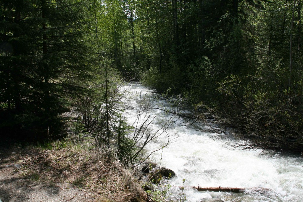
Downriver from the falls are rapids as far as we can see.
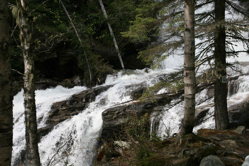
This close-up show is a favorite.
Tucked behind the trees in the parking lot, we have had an excellent view while we take a break from driving. As we are eating, a few other cars have joined us in the lot, but not enough to keep us from turning around quite easily. There is a big benefit to being this early in the “Alaska season.”
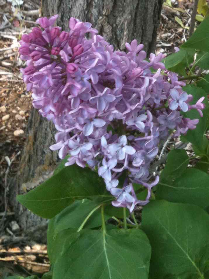
The lady who runs the RV park in Chetwynd has some beautiful lilac bushes along the porch by the office. After checking in, she tells me I may pick a lilac to take to the RV. I love this flower. We are following the season north. They are as beautiful here right now as they were in Washington a week ago. I love the smell! I love the color!
June 8 we arrive in Dawson Creek. This is where we begin the Alaska Highway adventure. Stay tuned. It should be interesting. Life is good.
Just getting caught up with reading your log I can almost smell those lilacs my mum had a bush in our back garden just like that it was wonderful wish they would grow here but as its going to be 115 tomorrow that seems highly unlikely